
Postcode(s) 3704 | Postal code 3704 | |
 | ||
Location 394 km (245 mi) NE of Melbourne87 km (54 mi) E of Albury34 km (21 mi) E of Tallangatta48 km (30 mi) W of Corryong | ||
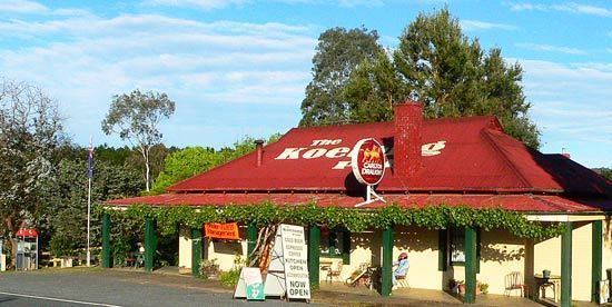
Koetong is a locality in north-east Victoria, Australia. The locality, part of the Towong Shire local government area, is on the Murray Valley Highway between Tallangatta and Corryong, 394 kilometres (245 mi) north-east of the state capital, Melbourne, .
Map of Koetong VIC 3704, Australia
Koetong was surveyed in 1885 but not proclaimed until 1952. Tin and gold mining has been sporadically carried out in the area since 1873.
The local state school first opened in 1890 and after several temporary closures, closed permanently in 2003. The town is an access point to nearby Mount Lawson State Park.
References
Koetong Wikipedia(Text) CC BY-SA