
District Karimnagar Time zone IST (UTC+5:30) Elevation 387 m | Mondal Kodimial PIN 505501 Local time Thursday 10:08 PM | |
 | ||
Weather 23°C, Wind SE at 3 km/h, 90% Humidity | ||
Kodimial is a village and a mandal in Karimnagar district in the state of Telangana in India.
Contents
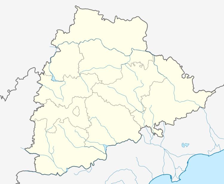
Map of Kodimial, Telangana 505501
Geography
Kodimial is located at 18.6333°N 78.9000°E / 18.6333; 78.9000. It has an average elevation of 387 meters (1272 feet).
Grama Panchayat Villages In Mandal
01) Poodur 11) Ramsagar 02) Kodimial 12) Narshimhulapalle 03) Nachupalle 13) Surampeta 04) Cheppial 14) Thippaipalle 05) Gourapur 15) Thiramalapur 06) Konapur 16) Dabbuthimmaipalle 07) Ramakristapur 08) Nallagonda 09) Namilakonda 10) SriramulapalleReferences
Kodimial Wikipedia(Text) CC BY-SA