
Vehicle registration KA Elevation 668 m Local time Thursday 10:07 PM | Time zone IST (UTC+5:30) Website karnataka.gov.in Population 13,560 (2001) ISO 3166 code ISO 3166-2:IN | |
 | ||
Weather 28°C, Wind S at 3 km/h, 50% Humidity | ||
Kodigenahalli is a census town in Tumkur district in the Indian state of Karnataka.
Contents
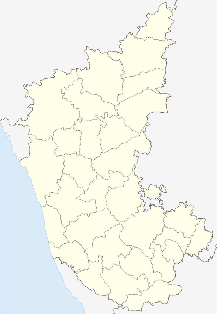
Map of Kodigenahalli, Karnataka 572127
Geography
Kodigenahalli is located at 13.72°N 77.39°E / 13.72; 77.39. It has an average elevation of 668 metres (2191 feet).
Demographics
As of 2001 India census, Kodigenahalli had a population of 5448. Males constitute 51% of the population and females 49%. Kodigenahalli has an average literacy rate of 48%, lower than the national average of 59.5%: male literacy is 55%, and female literacy is 40%. In Kodigenahalli, 15% of the population is under 6 years of age.
References
Kodigenahalli Wikipedia(Text) CC BY-SA