
Administrative center selo of Kochkurovo Rural localities 39 | Federal subject Republic of Mordovia Selsoviets 11 Area 816.5 km² | |
 | ||
Municipally incorporated as | ||
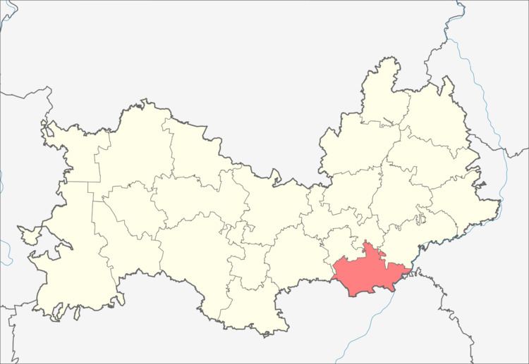
Kochkurovsky District (Russian: Кочку́ровский райо́н; Erzya: Кочкурбуе; Moksha: Кочкуровань аймак) is an administrative and municipal district (raion), one of the twenty-two in the Republic of Mordovia, Russia. It is located in the south of the republic. The area of the district is 816.46 square kilometers (315.24 sq mi). Its administrative center is the rural locality (a selo) of Kochkurovo. As of the 2010 Census, the total population of the district was 10,794, with the population of Kochkurovo accounting for 29.6 % of that number.
Contents
Map of Kochkurovsky District, Mordovia, Russia
Administrative and municipal status
Within the framework of administrative divisions, Kochkurovsky District is one of the twenty-two in the republic. The district is divided into eleven selsoviets which comprise thirty-nine rural localities. As a municipal division, the district is incorporated as Kochkurovsky Municipal District. Its eleven selsoviets are incorporated into eleven rural settlements within the municipal district. The selo of Kochkurovo serves as the administrative center of both the administrative and municipal district.