
Country Thailand Amphoe established 1903 Geocode 8202 Population 13,155 (2008) Province Phang Nga Province | Seat Ko Yao Noi Time zone ICT (UTC+7) Area 141.1 km² Postal code 82160 | |
 | ||
Ko Yao (Thai: เกาะยาว, [kɔ̀ʔ jaːw]) is a district (amphoe) in Phang Nga Province in Thailand's south.
Contents
Map of Ko Yao District, Phang Nga, Thailand
History
The minor district (king amphoe) Ko Yao was established in 1903 as a subordinate of Mueang Phang Nga District. On 1 January 1988 it was upgraded to a full district.
Geography
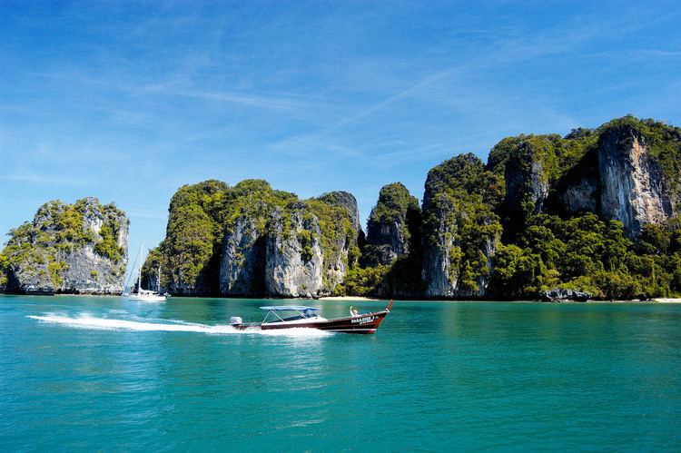
The district covers several islands of the Ko Yao archipelago in Phang Nga Bay, near the island of Phuket. The two main islands are named Ko Yao Yai and Ko Yao Noi ("big long island" and "small long island"). The northern tips of the islands are part of Ao Phang Nga National Park.
Religion
The majority of the population are Sunni Muslims. The Muslim religion was introduced in the 13th century by Arab traders.
Administration
The district is divided into three sub-districts (tambon), which are further subdivided into 18 villages (muban). Ko Yao itself has sub-district municipality (thesaban tambon) status, which covers parts of tambon Ko Yao Noi. There are a further three tambon administrative organizations (TAO).