
Country Thailand Time zone THA (UTC+7) Area 162.2 km² Province Trat Province | Seat Ko Kut Geocode 2306 Population 2,118 (2007) Postal code 23000 | |
 | ||
Ko Kut (Thai: เกาะกูด, [kɔ̀ʔ kùːt]) is a district (Amphoe) of Trat Province, eastern Thailand, consisting of a group of islands. With a population of about 2000 it is the district with the lowest population of all Thailand.
Contents
Map of Ko Kut District, Trat, Thailand
History
Originally the area of the district was part of the subdistrict (tambon) Ko Chang, Laem Ngop district. In 1952 the subdistrict Ko Mak was established covering the whole island, at that time subdivided into four villages (muban). In 1980 three villages of Ko Mak were split off to create the subdistrict Ko Kut. On April 1, 1990 the government upgraded tambon Ko Kut together with tambon Ko Mak to a minor district (King Amphoe).
Following a decision of the Thai government on May 15, 2007, all of the 81 minor districts were to be upgraded to full districts. With the publishing in the Royal Gazette on August 24 the upgrade became official.
As local government entities the two Tambon administrative organizations (TAO) were created in 2003 and 2004 respectively. The Tambon Council Ko Kut was upgraded to a TAO in 2003, and for Ko Mak in 2004.
Geography
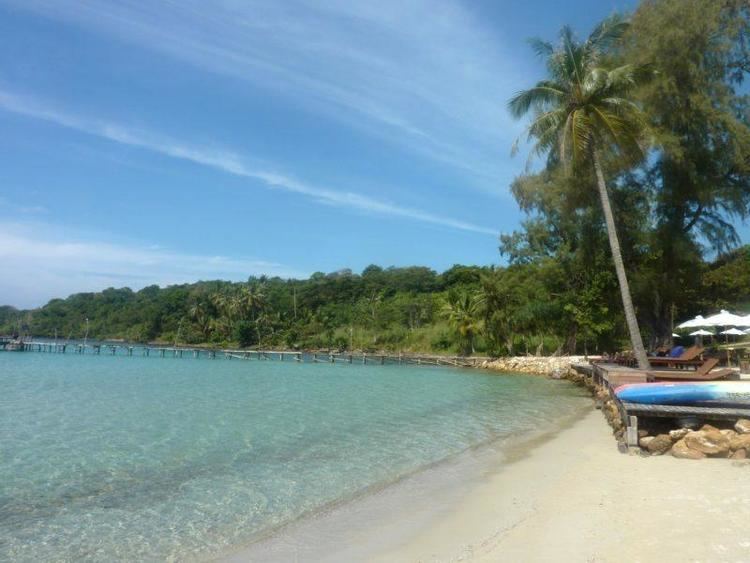
It is a major island ringed by sleepy seaside villages and coconut plantations. It is about 60 minutes from the mainland by speedboat.
Kut Island has limited infrastructure and hence is not as popular as nearby Ko Chang. Several resorts on the islands cater to tourists who prefer a quiet and family-friendly atmosphere. The island has great beaches and is a great spot to get away from the tourists.
Administration
The district is subdivided into two subdistricts (tambon), which are further subdivided into eight villages (muban). There are two Tambon administrative organizations (TAO), one for each subdistrict.