
Country Thailand Tambon 2 Postal code 20240 Area 248.8 km² Province Chonburi Province | Seat Ko Chan Time zone THA (UTC+7) Geocode 2011 Population 37,113 (2015) | |
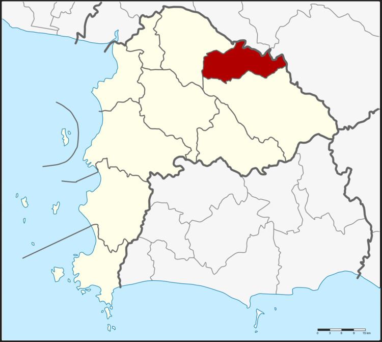 | ||
Ko Chan (Thai: เกาะจันทร์; [kɔ̀ʔ tɕān]) is a district (amphoe) in the province Chonburi, Thailand.
Contents
Map of Ko Chan District, Chon Buri, Thailand
History
The minor district was created on July 1, 1997 by splitting the eastern part off from Phanat Nikhom district.
Following a decision of the Thai government on May 15, 2007, all of the 81 minor districts were to be upgraded to full districts. With the publishing in the Royal Gazette on August 24 the upgrade became official.
Geography
Neighboring districts are (from the north clockwise) Plaeng Yao, Sanam Chai Khet and Tha Takiap of Chachoengsao Province and Bo Thong and Phanat Nikhom of Chonburi Province.
Administration
The district is subdivided into 2 subdistricts (tambon), which are further subdivided into 27 villages (muban). Ko Chan and Tha Bunmi are both subdistrict municipalities (thesaban tambon) which each cover parts of the same-named tambon. There are further 2 Tambon administrative organizations (TAO).