
Area 39.42 km² | Local time Saturday 2:52 AM | |
 | ||
Weather 5°C, Wind N at 11 km/h, 85% Humidity | ||
Ko ick bel
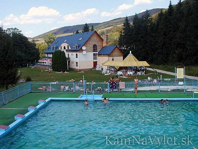
Košická Belá (1297 flimen Bela, 1397 villa Johannis, 1440 Janussffalwa, 1580 Hansdorff, 1650 Bela) (German: Hansdorf; Hungarian: Kassabéla) is a village and large municipality in Košice-okolie District in the Košice Region of eastern Slovakia.
Contents
- Ko ick bel
- Map of 044 65 KoC5A1ickC3A1 BelC3A1 Slovakia
- Isde 2015 cross test ko ick bel
- History
- Geography
- References
Map of 044 65 Ko%C5%A1ick%C3%A1 Bel%C3%A1, Slovakia
Isde 2015 cross test ko ick bel
History
Historically, the village was first mentioned in 1297 when German settlers came here.
Geography
The village lies at an altitude of 380 metres and covers an area of 39.575 km². It has a population of about 940 people.
References
Košická Belá Wikipedia(Text) CC BY-SA