Area 36.91 km² | Local time Saturday 2:49 AM | |
 | ||
Weather 6°C, Wind N at 6 km/h, 90% Humidity | ||
Ko eck podhradie ve k ko eck podhradie
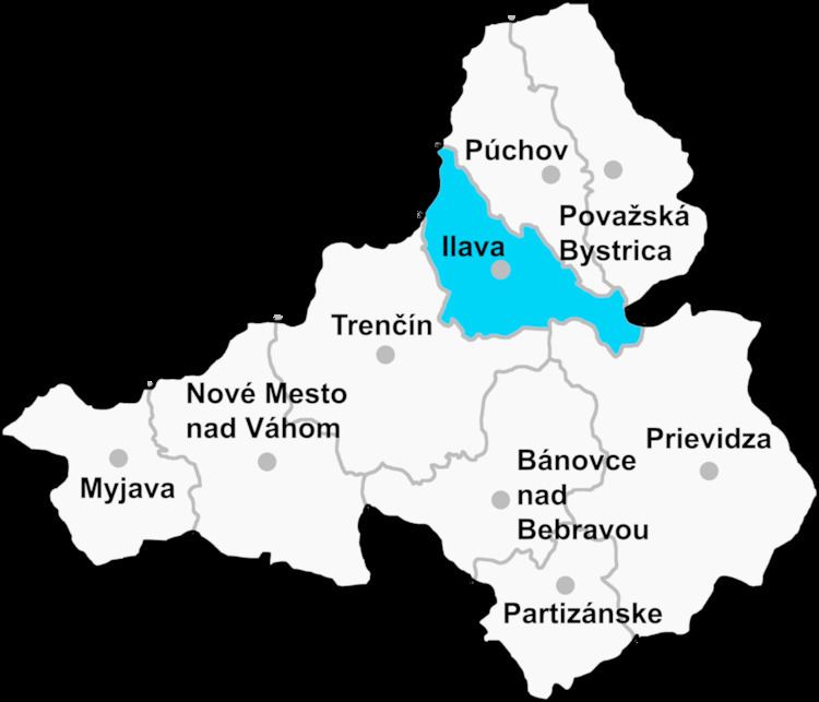
Košecké Podhradie (Hungarian: Kaszaváralja) is a village and municipality in Ilava District in the Trenčín Region of north-western Slovakia.
Contents
- Ko eck podhradie ve k ko eck podhradie
- Map of 018 31 KoC5A1eckC3A9 Podhradie Slovakia
- Ko eck podhradie mal ko eck podhradie
- History
- Geography
- References
Map of 018 31 Ko%C5%A1eck%C3%A9 Podhradie, Slovakia
Ko eck podhradie mal ko eck podhradie
History
In historical records the village was first mentioned in 1312.
Geography
The municipality lies at an altitude of 330 metres and covers an area of 36.915 km². It has a population of about 1071 people.
References
Košecké Podhradie Wikipedia(Text) CC BY-SA
