
Country Macedonia Time zone CET (UTC+1) ISO 3166-2 MK-42 Area code 033 | car plates KO Area 375.4 km² Team FK Osogovo | |
 | ||
Region | ||
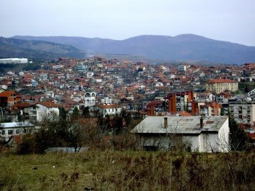
Kočani (Macedonian: Кочани [ˈkɔtʃani]) is a municipality in eastern part of Republic of Macedonia. Kočani is also the name of the town where the municipal seat is found. The municipality is part of the Eastern Statistical Region.
Contents
Map of Municipality of Kochani, Macedonia (FYROM)
Geography
The municipality borders Kriva Palanka Municipality to the north, Kratovo Municipality and Probištip Municipality to the west, Makedonska Kamenica Municipality and Vinica Municipality to the east, and Češinovo-Obleševo Municipality and Zrnovci Municipality to the south.
History
By the 2003 territorial division of the Republic, the rural Orizari Municipality was attached to Kočani Municipality.
Demographics
There are 38,092 residents of Kočani Municipality, according to the 2002 census. Ethnic groups in the Kočani municipality:
References
Kočani Municipality Wikipedia(Text) CC BY-SA