
OS grid reference NH510581 Sovereign state United Kingdom Postcode district IV15 9 Local time Thursday 10:33 AM | Council area Highland | |
 | ||
Weather 8°C, Wind SW at 42 km/h, 72% Humidity | ||
Knockfarrel (Scottish Gaelic: Cnoc Fearghalaigh) is a village, 1 mile east of Strathpeffer, in Dingwall in Ross-shire, Scottish Highlands and is in the Scottish council area of Highland.
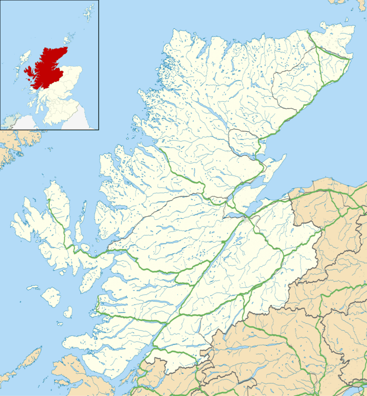
Map of Knockfarrel, Dingwall, UK
Knockfarrel or Knock Farrel, or indeed Knock Farril (stone fort) is a vitrified pictish Iron Age fort which lies on the knockfarrel hill, immediately to the north of the village, and which it gave its name to the village. The walk up to the fort is a popular tourist attraction.
The village once had a large enough population to have its own shinty club which then amalgamated with Strathpeffer's to create Caberfeidh in 1886.[1]
References
Knockfarrel Wikipedia(Text) CC BY-SA