
Length 38 km | ||
 | ||
Discharge Average rate:90.3 cu ft/s (2.56 m/s) | ||
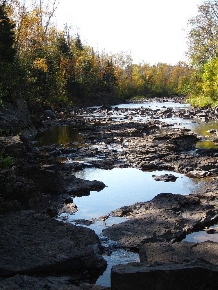
The Knife River is a 23.9-mile-long (38.5 km) river of northern Minnesota which drains a portion of Lake and Saint Louis counties into Lake Superior between Duluth and Two Harbors.
Contents
Map of Knife River, MN, USA
Name
The Knife River's name is an accurate preservation of its native Ojibwe name, Mokomani Zibi. Its original name was probably given on account of the long, sharp stones near the mouth of the river.
Geography
The main branch of the Knife River flows 23.9 miles (38.5 km) from source to mouth, flowing parallel to the shoreline from the direction of Two Harbors. It has four or five major tributaries. Its watershed is 84.3 square miles (218 km2), and contains 181.1 miles (291.5 km) of streams. Since data began being collected in 1974, its mean annual daily discharge of water has been calculated as 90.3 cubic feet per second (2.56 m3/s). There is concern over the river's water quality due to suspended sediment, and it was placed on the state's impaired waters list in 1998. A 2008 study found that about sixty percent of the sediment was coming from erosion of the streambanks, and about thirty from erosion of the river's bluffs.
The Knife River's watershed is largely undeveloped, being 72% forest, 16% wetland, and 6% grassland. 5% is used for agricultural purposes, and the remaining 1% is the unincorporated community of Knife River, Minnesota, located at the river's mouth.