
FIPS code 19-41790 Elevation 360 m Zip code 50552 Local time Thursday 3:35 AM | Time zone Central (CST) (UTC-6) GNIS feature ID 0458131 Area 2.62 km² Population 61 (2013) Area code 515 | |
 | ||
Weather -3°C, Wind SE at 14 km/h, 72% Humidity | ||
How to say or pronounce usa cities knierim iowa
Knierim is a city in Calhoun County, Iowa, United States. The population was 60 at the 2010 census.
Contents
- How to say or pronounce usa cities knierim iowa
- Map of Knierim IA USA
- History
- Geography
- 2010 census
- 2000 census
- References
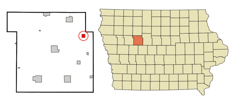
Map of Knierim, IA, USA
History
The city was founded by William and Wilhelmina Knierim in 1899, and incorporated in 1901.
Geography
Knierim is located at 42°27'19" North, 94°27'23" West (42.455148, -94.456520).
According to the United States Census Bureau, the city has a total area of 1.01 square miles (2.62 km2), all of it land.
2010 census
As of the census of 2010, there were 60 people, 25 households, and 17 families residing in the city. The population density was 59.4 inhabitants per square mile (22.9/km2). There were 28 housing units at an average density of 27.7 per square mile (10.7/km2). The racial makeup of the city was 96.7% White, 1.7% from other races, and 1.7% from two or more races. Hispanic or Latino of any race were 5.0% of the population.
There were 25 households of which 36.0% had children under the age of 18 living with them, 64.0% were married couples living together, 4.0% had a male householder with no wife present, and 32.0% were non-families. 32.0% of all households were made up of individuals and 20% had someone living alone who was 65 years of age or older. The average household size was 2.40 and the average family size was 3.06.
The median age in the city was 37.5 years. 31.7% of residents were under the age of 18; 0.0% were between the ages of 18 and 24; 28.3% were from 25 to 44; 23.4% were from 45 to 64; and 16.7% were 65 years of age or older. The gender makeup of the city was 53.3% male and 46.7% female.
2000 census
As of the census of 2000, there were 70 people, 34 households, and 19 families residing in the city. The population density was 69.5 people per square mile (26.8/km²). There were 35 housing units at an average density of 34.8 per square mile (13.4/km²). The racial makeup of the city was 100.00% White.
There were 34 households out of which 17.6% had children under the age of 18 living with them, 52.9% were married couples living together, 2.9% had a female householder with no husband present, and 44.1% were non-families. 35.3% of all households were made up of individuals and 14.7% had someone living alone who was 65 years of age or older. The average household size was 2.06 and the average family size was 2.68.
In the city, the population was spread out with 20.0% under the age of 18, 5.7% from 18 to 24, 30.0% from 25 to 44, 18.6% from 45 to 64, and 25.7% who were 65 years of age or older. The median age was 40 years. For every 100 females there were 100.0 males. For every 100 females age 18 and over, there were 107.4 males.
The median income for a household in the city was $26,667, and the median income for a family was $41,528. Males had a median income of $19,500 versus $28,333 for females. The per capita income for the city was $20,280. There were no families and 11.0% of the population living below the poverty line, including no under eighteens and none of those over 64.