
Country United States FIPS code 24-44525 Elevation 579 m Population 118 (2010) | Time zone Eastern (EST) (UTC-5) GNIS feature ID 2583646 Area 100 ha Local time Thursday 2:08 AM | |
 | ||
Weather -7°C, Wind W at 27 km/h, 58% Humidity | ||
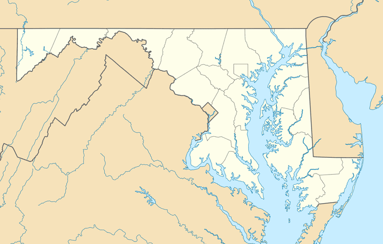
Klondike is an unincorporated community and census-designated place (CDP) in Allegany County, Maryland, United States. As of the 2010 census it had a population of 118.
Map of Klondike, MD 21532, USA
It is located in western Allegany County, 5 miles (8 km) southwest of Frostburg, at the foot of Big Savage Mountain.It is built at the site of the Klondike Mine, The Consolidation Coal Company's Mine No. 17.
References
Klondike, Maryland Wikipedia(Text) CC BY-SA