
 | ||
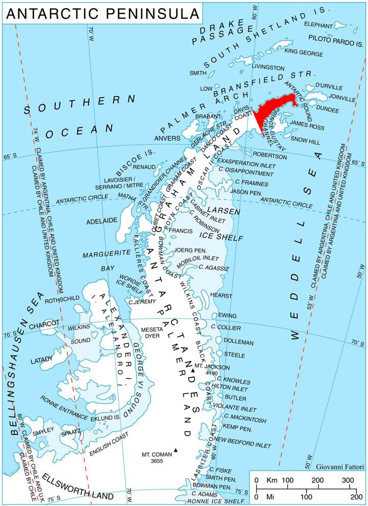
Klokotnitsa Ridge (Bulgarian: хребет Клокотница, ‘Hrebet Klokotnitsa’ \'hre-bet klo-'kot-ni-tsa) is the rounded ice-covered ridge extending 12 km in north-south direction, 4 km wide and rising to 1554 m on Trinity Peninsula in Graham Land, Antarctica. It is situated on the northwest side of Detroit Plateau, with two northerly offshoots of the ridge forming Dragor Hill and Borovan Knoll. The feature has steep and partly ice-free west, north and east E slopes surmounting Whitecloud Glacier to the west and McNeile Glacier to the east.
Contents
The ridge is named after the settlement of Klokotnitsa in Southern Bulgaria.
Location
Klokotnitsa Ridge is located at 63°57′55″S 59°27′25″W, which is 28.8 km southeast of Cape Kater and 26.7 km south of Cape Kjellman. German-British mapping in 1996.