
Area code(s) +3873766XXXX Local time Thursday 6:54 AM | Entity Federation Time zone CET (UTC+1) Area 358 km² | |
 | ||
Weather 4°C, Wind SW at 5 km/h, 82% Humidity | ||
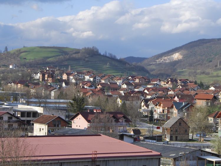
Ključ ([kʎûːtʃ]) is a town and municipality by the same name in western Bosnia and Herzegovina. It is located in the Federation of Bosnia and Herzegovina, specifically the Una-Sana Canton. The name of the town and the municipality translates to "Key" in Bosnian.
Contents
Map of Klju%C4%8D, Bosnia and Herzegovina
History
Human settlements have existed in the area long before the Roman Era. The town itself is first mentioned in 1322 in the documents of ban Stjepan II Kotromanić. It was conquered by the Ottoman Empire in 1463 as the last Royal Bosnian fortress.
From 1929 to 1941, Ključ was part of the Vrbas Banovina of the Kingdom of Yugoslavia.
Kljuc was first mentioned in 1322. In 1463, during the Ottoman invasion of Bosnia, the last Bosnian king Stjepan Tomašević, took refuge in the city. His surrender and execution marked the downfall of the medieval Bosnian state.
At the start of the war in Bosnia (1992-1995), the Kljuc area was held by Bosnian Serb forces. In the summer of 1995, the Bosniak Army forces liberated Kljuc. As a result, most of the pre-war ethnic Serb population fled. After the Dayton Peace Accords, the town belongs to the Federation of Bosnia and Herzegovina. Today, it is estimated that about 97% of the population of Kljuc are Bosniaks.
Population
According to the last official census in 1991, the municipality had a key 37,233 inhabitants, distributed in 61 settlements.
Geography
It is located a short distance south from Sanski Most. The Sana River runs through the municipality. The terrain is heavily forested.
Places
In 1991, the municipality of Ključ contained 61 places:
As a result of the war, the villages of Busije, Crkveno, Čađavica, Donja Previja, Donja Slatina, Donji Ribnik, Donji Vrbljani, Dragoraj, Gornja Previja, Gornja Slatina, Gornje Sokolovo, Gornji Ribnik, Gornji Vrbljani, Rastoka, Sitnica, Sredice, Stražice, Treskavac, Velijašnica, Velije et Zableće, as well as parts of Donje Ratkovo, Donje Sokolovo, Dubočani, Gornje Ratkovo, Jarice, Ljubine et Velečevo became a part of Ribnik municipality,Republika Srpska.
Today the municipality of Ključ has 40 localities :
Economy
The area is connected to other parts of Bosnia by the M-5 highway. Forestry, light industry and tourism are major components of the economy.