
Time zone CET/CEST (UTC+1/+2) Area 5.27 km² Postal code 56825 Dialling code 02677 | Elevation 415 m (1,362 ft) Postal codes 56825 Local time Thursday 6:03 AM Population 220 (31 Dec 2008) | |
 | ||
Weather 4°C, Wind W at 3 km/h, 84% Humidity | ||
Kliding karneval
Kliding is an Ortsgemeinde – a municipality belonging to a Verbandsgemeinde, a kind of collective municipality – in the Cochem-Zell district in Rhineland-Palatinate, Germany. It belongs to the Verbandsgemeinde of Ulmen, whose seat is in the like-named town.
Contents
- Kliding karneval
- Map of Kliding Germany
- Anschluss kliding train fever 043 let s play hd
- Location
- Climate
- History
- Municipal council
- Mayor
- Coat of arms
- Buildings
- Natural monuments
- References
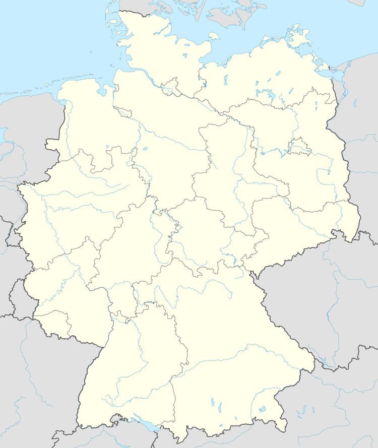
Map of Kliding, Germany
Anschluss kliding train fever 043 let s play hd
Location
The municipality lies in the Eifel, 7 km from the river Moselle.
Climate
Yearly precipitation in Kliding amounts to 768 mm, which falls into the middle third of the precipitation chart for all Germany. At 56% of the German Weather Service’s weather stations, lower figures are recorded. The driest month is April. The most rainfall comes in June. In that month, precipitation is 1.5 times what it is in April. Precipitation varies only slightly. Only at 1% of the weather stations are even lower seasonal swings recorded.
History
In 1360, Kliding had its first documentary mention as a fief held by the widow of Dietrich, Lord at Ulmen. Electoral-Trier overlordship ended with the French Revolutionary occupation of the Rhine’s left bank between 1794 and 1796. In 1815 Kliding was assigned to the Kingdom of Prussia at the Congress of Vienna. Urschmitt and Kliding, which together formed a single municipality, were split into two separate ones in 1848. In 1869, the consecration of a new chapel at Kliding was celebrated. Since 1946, Kliding has been part of the then newly founded state of Rhineland-Palatinate.
Municipal council
The council is made up of 6 council members, who were elected by majority vote at the municipal election held on 7 June 2009, and the honorary mayor as chairman.
Mayor
Kliding’s mayor is Felix Esper, and his deputy is Matthias Schneiders.
Coat of arms
The municipality’s arms might be described thus: Per pale and chevron, argent and vert counterchanged, in dexter chief an oak sprig bendwise slipped fructed of two and leafed of four of the second, in sinister chief a cross patriarchal of the first, in dexter base a waterwheel spoked of four of the second, in sinister base a horseshoe bendwise, the ends to chief, sable.
Buildings
The following are listed buildings or sites in Rhineland-Palatinate’s Directory of Cultural Monuments:
Saint Wendelin’s is also noted for its windows. Kliding is also home to a Heiligenhäuschen (a small, shrinelike structure consecrated to a saint or saints) known as the Dreifaltigkeitsheiligenhäuschen (“Trinity Heiligenhäuschen”), which stands on Mühlweg.