
 | ||
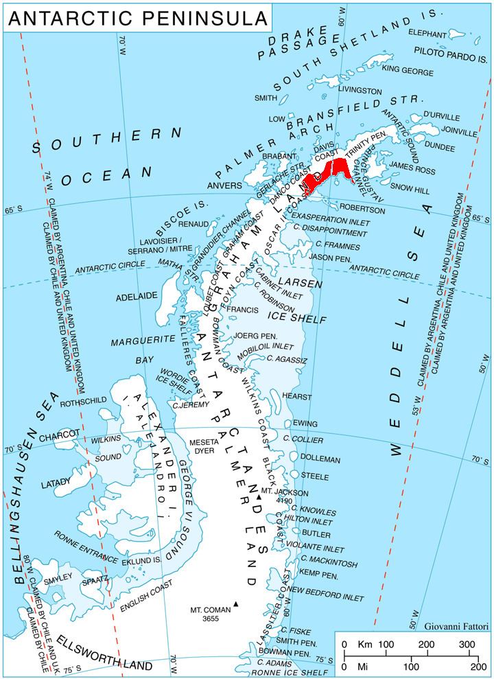
Kladorub Glacier (Bulgarian: ледник Кладоруб, ‘Lednik Kladorub’ \'led-nik kla-do-'rub) is the 14 km long and 3.5 km wide glacier on Nordenskjöld Coast in Graham Land situated southwest of Aleksiev Glacier and northeast of Vrachesh Glacier. It drains the southeast slopes of Detroit Plateau, flows southeastwards between Cruyt Spur and Papiya Nunatak, and turns east to enter Desislava Cove in Weddell Sea. The feature is named after the settlement of Kladorub in Northwestern Bulgaria.
Contents
Map of Kladorub Glacier, Antarctica
Location
Kladorub Glacier is located at 64°39′20″S 60°37′00″W. British mapping in 1978.
Maps
References
Kladorub Glacier Wikipedia(Text) CC BY-SA