
Area 35.04 km² | Local time Thursday 8:02 AM | |
 | ||
Weather 1°C, Wind NE at 0 km/h, 92% Humidity | ||
Klátova Nová Ves (German Stockneudorf, Hungarian Ujfalutőkés or Tőkésújfalu) is a village and municipality in Partizánske District in the Trenčín Region of western Slovakia. It was named until 1927 Klatnovejsa.
Contents
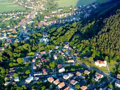
Map of 958 44 Kl%C3%A1tova Nov%C3%A1 Ves, Slovakia
History
In historical records the village was first mentioned in 1310. It belonged to the Kingdom of Hungary until 1918.
Geography
The municipality lies at an altitude of 199 metres and covers an area of 35.038 km². It has a population of about 1570 people.
References
Klátova Nová Ves Wikipedia(Text) CC BY-SA