
Coat of arms Flag selsoviet 17 Founded 24 January 1939 | Rural localities 74 Area 2,131 km² | |
 | ||
Kiznersky District (Russian: Кизне́рский райо́н; Udmurt: Кизнер ёрос) is an administrative and municipal district (raion), one of the twenty-five in the Udmurt Republic, Russia. It is located in the southwest of the republic. The area of the district is 2,131.1 square kilometers (822.8 sq mi). Its administrative center is the rural locality (a settlement) of Kizner. Population: 20,263 (2010 Census); 23,502 (2002 Census); 25,991 (1989 Census). The population of Kizner accounts for 47.1% of the district's total population.
Contents
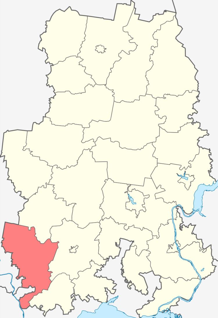
Map of Kiznerskiy r-n, Udmurt Republic, Russia
Geography
Major rivers in the district include the Vyatka, the Kazanka, the Pyzhmanka, the Lyuga, and the Umyak.
Demographics
Ethnic composition (according to the 2002 Census):
Economy
District's economy is based on agriculture.
References
Kiznersky District Wikipedia(Text) CC BY-SA