Country India District Kollam Time zone IST (UTC+5:30) Local time Thursday 6:26 AM | State Kerala Taluk Kottarakkara PIN 691542 | |
 | ||
Weather 26°C, Wind E at 5 km/h, 85% Humidity | ||
Kizhekketheruvu, Pallimukku is one of the main junctions of the outskirts of Kottarakkara town, which is 4 kilometres (2.5 mi) west of Kizhekketheruvu on the National Highway 208 (NH 208).
Contents
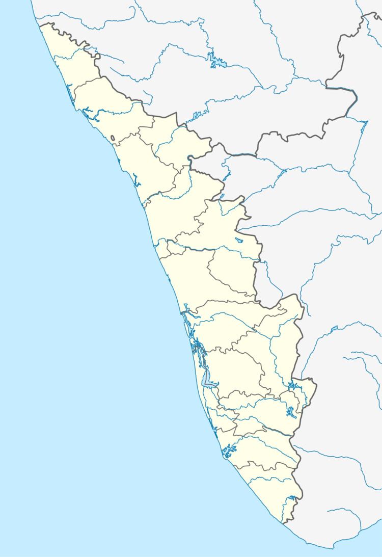
Map of Kizhakketheruvu, Melila, Kerala 691531
Geography and climate
Kizhekketheruvu is located about 34 kilometres (21 mi) west of the Laccadive Sea in the southwest coast of India. Kizhekketheruvu has a wet and maritime tropical climate influenced by the seasonal heavy rains of the southwest summer monsoon, from June until September, and northeast winter monsoon, from October until November, receiving an annual average rainfall of around 2,700 millimetres (110 in). Its temperature is almost steady throughout the year. The summer season usually runs from March until May and the average temperature ranges from 25 to 32 °C (77 to 90 °F). The winter season is from November to February and the temperature ranges from 18 to 25 °C (64 to 77 °F).
Hospital
The Aroma Medical Centre is located on the Kollam-Thirumangalam highway, about 1.3 kilometres (0.81 mi) west of Kizhekketheruvu (9.010852°N 76.819268°E / 9.010852; 76.819268).
Schools
St. Mary's Higher secondary school
