
Time zone AEST (UTC+10) Elevation 33 m Population 8,265 (2000) Number of airports 1 | District North Fly Climate Af Local time Thursday 10:03 AM | |
 | ||
Weather 24°C, Wind NW at 3 km/h, 93% Humidity | ||
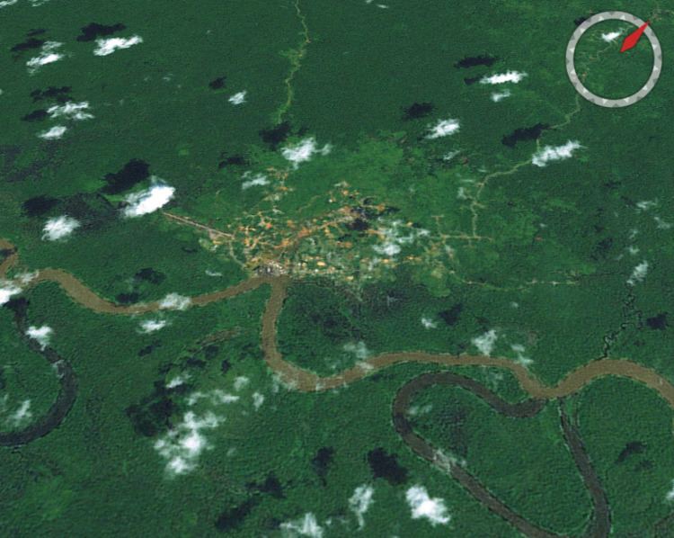
Kiunga is a port town on the Fly River in the Western Province of Papua New Guinea, just upstream from the D'Albertis Junction with the Ok Tedi River. It is the southernmost terminus of the Kiunga-Tabubil Highway. Local industry rests on a cornerstone of freight and haulage, particularly from the Ok Tedi Mine and provisioning for the much larger town of Tabubil. Rubber has been an emerging industry more recently, with a processing/manufacturing plant being built in town.
Contents
Map of Kiunga, Papua New Guinea
Description
Surrounding swamps and rainforest lowlands are of interest to birdwatchers, with a high chance of observing Crowned Pigeon, Yellow-eyed Starling, Large Fig-Parrot and Flame Bowerbird as well as a large variety of more common species.
Kiunga has reliable 24-hour power. Locals are friendly, and there is no significant crime. Dial-up net access is possible during business hours. Short term accommodation is available. Although Kiunga is accessible by road, this provides access only from Tabubil via the Kiunga-Tabubil Highway.
Regular flights to and from the capital, Port Moresby, by both Airlines PNG and Air Niugini.