
Time zone EET (UTC+2) Elevation 1,599 m Postal code 51820 | District Çiftlik Licence plate 51 Population 2,252 (2012) Area code 0388 | |
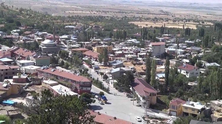 | ||
Kitreli is a belde (town) in Çiftlik district of Niğde Province, Turkey. It is situated in a high peneplane at 38°10′N 34°21′E. The distance to Çiftlik is 15 kilometres (9.3 mi) and to Niğde is 87 kilometres (54 mi). (Aksaray, the capital of the next province is closer to Kitreli than Niğde). The population of the Kitreli was 2316 as of 1704. The name Kitreli refers to tragacanth (Turkish: kitre) a natural gum, produced around the town. The settlement was founded two centuries ago by a group of families from Aksaray or Altunhisar. In 1953 it was declared a seat of township. Main economic sector is agriculture. Cereal, Patato and sunflower are the main products. Although there are also apple gardens (like most other places in Niğde Province) irrigation facilities are not sufficient for a large scale production. Dairying and weaving are secondary activities.