
Elevation 1,306 m | ||
 | ||
Topo map Geospatial Information Authority (国土地理院, Kokudochiriin) 25000:1 丸立峠25000:1 雄柏山25000:1 旧白滝25000:1 上雄柏50000:1 紋別50000:1 北見 Similar Onsenfuji, Mount Teshio, Mt Akan‑Fuji, Ogonzan, Mount Upepesanke | ||
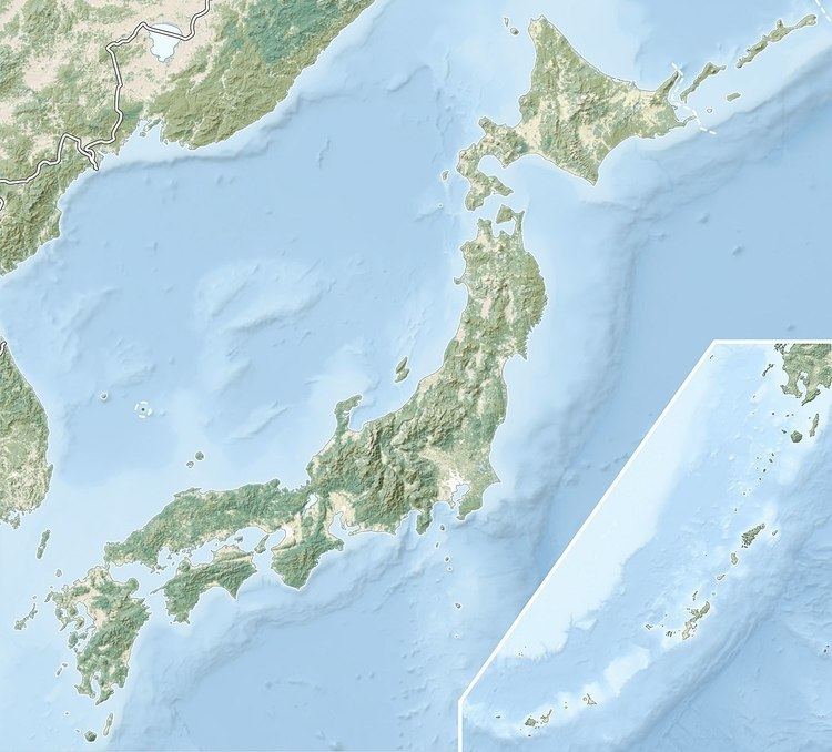
Kitami Fuji (北見富士) is located in the Kitami Mountains, Hokkaidō, Japan. The peak marks the border of Takinoui, Monbetsu, and Engaru. It is the source of the Tatsuushi River.
Map of Kitami Fuji, Oshiraneppugenya, Takinoue, Monbetsu District, Hokkaido Prefecture 099-5600, Japan
References
Kitami Fuji Wikipedia(Text) CC BY-SA