Location North Atlantic Length 10.2 km (6.34 mi) Highest elevation 200 m (700 ft) | Archipelago Kitak group Width 4.3 km (2.67 mi) Elevation 200 m | |
 | ||
Major islands Kitak, Orssuiagssuaq, Igssalik | ||
Kitak is an island in the Sermersooq municipality in southeastern Greenland.
Contents
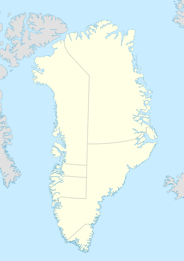
Map of Kitak, Greenland
In 1961 the German weather ship WBS 11 Hessen was renamed 'Kitak'.
Geography
The island is located on the western side of the entrance of the Sermilik Fjord. There is a sheltered bay in the NW side of Kitak that is reportedly a good anchorage for ocean-going vessels. The island is 10.2 kilometres (6 miles) long with maximum width of 4.3 kilometres (3 miles).
Kitak is the largest and easternmost island of a compact cluster of coastal islands, islets and rocks extending for 14 km from the easternmost point of Kitak to the 51 m high islet of Igssalik in the west; 2.2 kilometres (1 mile) long Orssuiagssuaq, where formerly a LORAN station was located, is the southernmost island. The archipelago is separated from the mainland by narrow sounds, one of which is named 'Ikasartik'. The Suunikajik island cluster is located 4 km to the west.
The nearest inhabited settlement is Tasiilaq, the most populous community on the eastern coast and the seventh-largest town in Greenland, located on Ammassalik Island on the other side of the fjord about 40 km to the ENE.
