Area 193.7 km² University Gov't Gurudayal College | Time zone BST (UTC+6) Population 500,208 (2007) | |
 | ||
Website Official Map of Kishoreganj Sadar | ||
Kishoreganj Sadar (Bengali: কিশোরগঞ্জ সদর) is an Upazila of Kishoreganj District in the Division of Dhaka, Bangladesh.
Contents
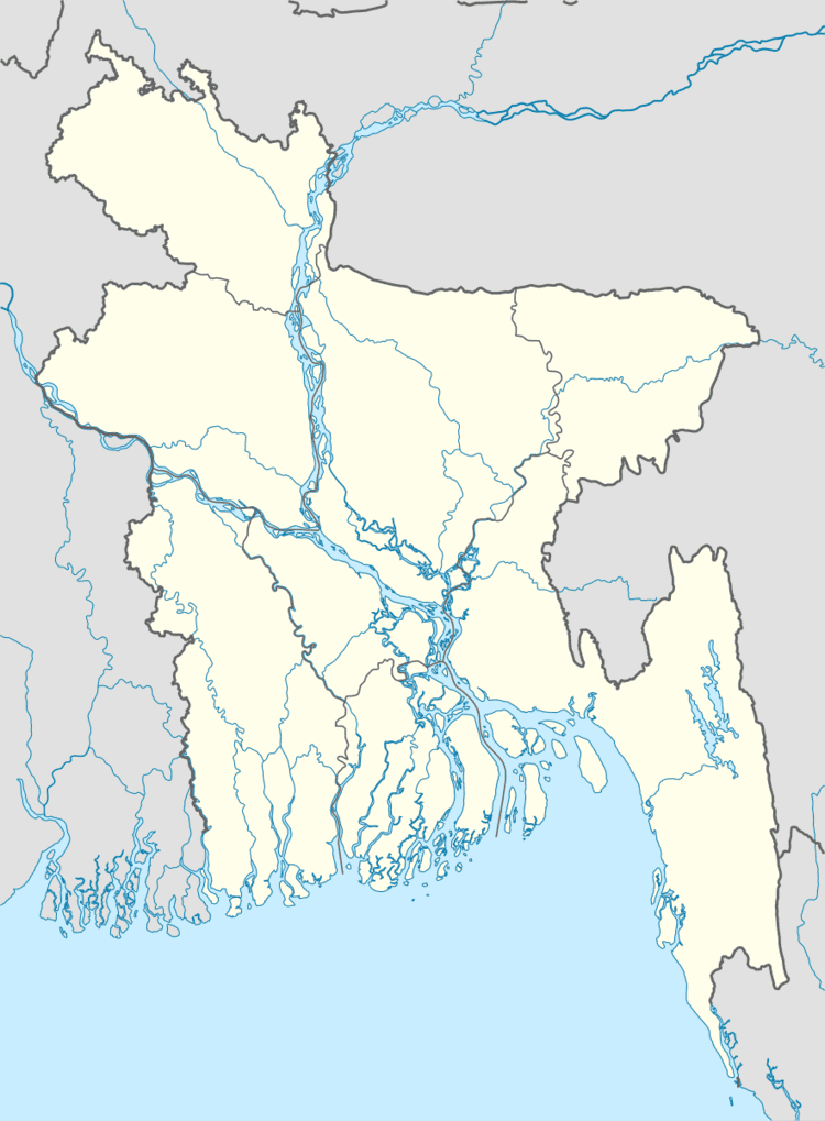
Map of Kishoreganj Sadar Upazila, Bangladesh
Geography
Kishoreganj Sadar is located at 24.4333°N 90.7833°E / 24.4333; 90.7833. It has 55,828 housing units and a total area 193.73 km². Kishoregonj is the name of a district where some important people were born. Kishoreganj Sadar Upazila (kishoreganj district) is bounded by Nandail upazila on the north, Pakundia and Katiadi upazilas on the south, Karimganj and Tarail upazilas on the east and Hossainpur and Nandail upazilas on the west. Main river is Narsunda.
Demographics
As of the 1991 Bangladesh census, Kishoreganj Sadar had a population of 300,337. Males constituted 51.52% of the population, females 48.48%. This upazila's population of eighteen and older was 149,926. Kishoreganj Sadar had an average literacy rate of 28.3% (7+ years). The national average was 32.4% literate.
Administration
Kishoreganj Sadar has 11 Unions/Wards, 125 Mauzas/Mahallas, and 203 villages.
Education
According to Banglapedia, Kishoregonj Government Boys' High School, founded in 1881, is a notable secondary school.
