
Coat of arms Flag Rural localities 86 Area 1,401 km² | Founded 1924 | |
 | ||
Municipally incorporated as | ||
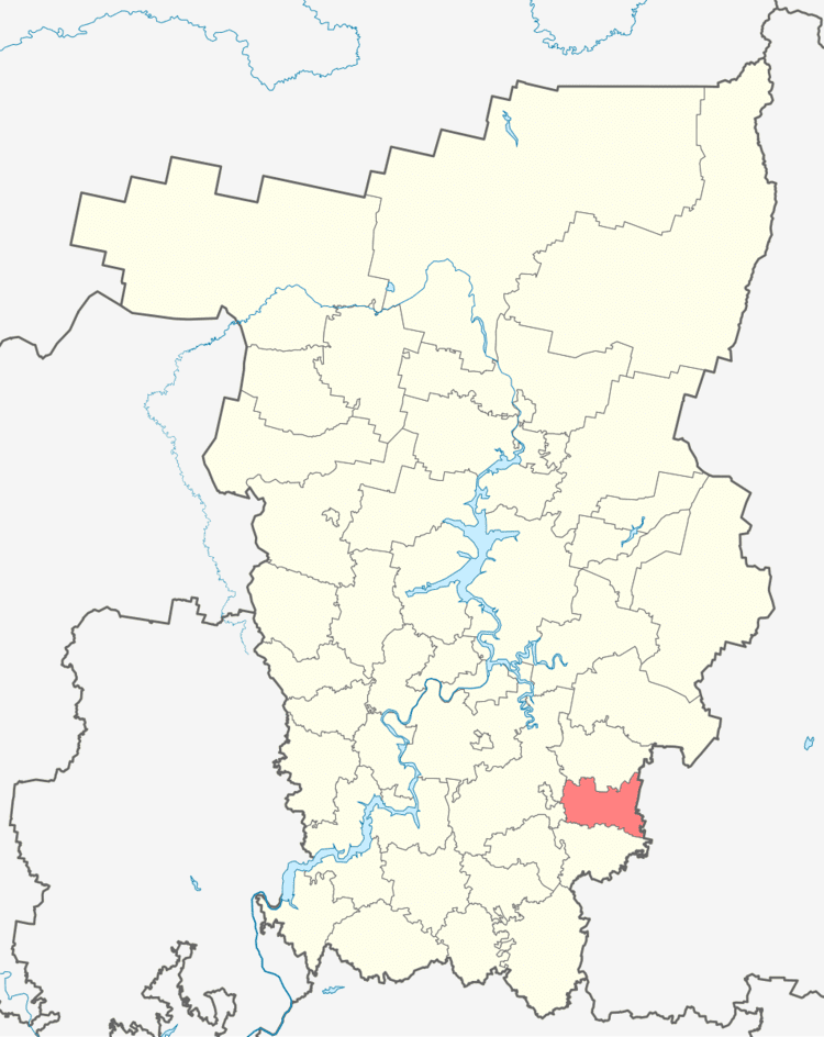
Kishertsky District (Russian: Кишертский райо́н) is an administrative district (raion) of Perm Krai, Russia; one of the thirty-three in the krai. Municipally, it is incorporated as Kishertsky Municipal District. It is located in the southeast of the krai. The area of the district is 1,400 square kilometers (540 sq mi). Its administrative center is the rural locality (a selo) of Ust-Kishert. Population: 12,777 (2010 Census); 15,093 (2002 Census); 17,957 (1989 Census). The population of Ust-Kishert accounts for 32.9% of the district's total population.
Contents
- Map of Kishertskiy r n Permskiy Kray Russia
- Geography and climate
- History
- Demographics
- Economy
- References
Map of Kishertskiy r-n, Permskiy Kray, Russia
Geography and climate
The district stretches for 30 kilometers (19 mi) from north to south and for 50 kilometers (31 mi) from east to west.
Annual precipitation is 500–600 millimeters (20–24 in).
History
The district was created on January 15, 1924 as Ust-Kishertsky District (Усть-Кишертский район) of Kungur Okrug of Ural Oblast. It was renamed Kishertsky District on September 30, 1925.
Demographics
The most numerous ethnic groups, according to the 2002 Census, include Russians at 94.7% and Tatars at 3%.
Economy
The economy of the district is based on agriculture, mining, forestry, and food industries.