
Region Sub-region Time zone EAT (UTC+3) | ||
 | ||
Weather 22°C, Wind NE at 5 km/h, 69% Humidity | ||
Kiruhura is a town in the Western Region of Uganda. It is the largest town in Kiruhura District and the site of the district headquarters.
Contents
Location
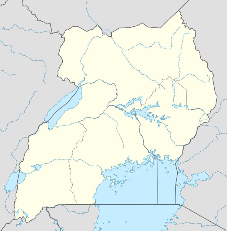
Kiruhura is approximately 69 kilometres (43 mi), by road, northeast of Mbarara, the largest city in the Ankole sub-region. This is approximately 265 kilometres (165 mi), by road, south-west of Kampala, the capital and largest city of Uganda. The coordinates of the town are 0°12'53.0"S, 30°46'12.0"E (Latitude:-0.214709; Longitude:30.769999).
Population
In 2002, the national population census put the town's population at about 10,240. In 2010, the Uganda Bureau of Statistics (UBOS) estimated the population at 13,500. In 2011, UBOS estimated the mid-year population at 14,000. In 2012, UBOS projected the town's population at 14,300.
Points of interest
The following additional points of interest lie within the town limits or close to its edges: