
PIN 249161 Local time Wednesday 11:29 PM Area code 9897101720 | Time zone IST (UTC+5:30) Telephone code 9897101720 Population 1,040 (2001) | |
 | ||
Weather 16°C, Wind E at 3 km/h, 53% Humidity | ||
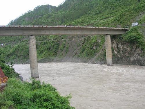
Remnants of a river valley village kirtinagar after uttarakhand floods
Kirtinagar is a town and a Nagar Panchayat and a Taluk in Tehri Garhwal district in the Indian state of Uttarakhand.
Contents
- Remnants of a river valley village kirtinagar after uttarakhand floods
- Map of Kirtinagar Uttarakhand 249161
- Changing river course and swallowed villages kirtinagar in uttarakhand
- Geography
- History
- Demographics
- References
Map of Kirtinagar, Uttarakhand 249161
Changing river course and swallowed villages kirtinagar in uttarakhand
Geography
Kirtinagar is located at 30.22°N 78.76°E / 30.22; 78.76. Kirtinagar Taluk contains around 20 villages.
History
Kirtinagar was founded by Garhwal Raja Kirti Shah by the Alaknanda River in response to the destruction by flood of nearby Old Srinagar in 1894.
Demographics
As of the 2011 Census Kirtinagar has a population of 1,517, of which 41% are females and 10% are children up to 6 years of age. The average literacy rate is 81%, higher than the state average of 79%, with male literacy at 79%, and female literacy at 85%. Over the ten years from 2001, the population has increased hugely, by 46% from 1040, and the proportions of females and children are both slightly down from their earlier 43% and 11% levels. Literacy is up from 76%.