
 | ||
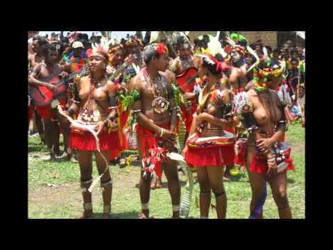
Kiriwina island papua new guinea trobriand cricket
Kiriwina is the largest of the Trobriand Islands, with an area of 290.5 km². It is part of the Milne Bay Province of Papua New Guinea. Most of the 12,000 people who live in the Trobriands live on Kiriwina. The Kilivila language, also known as Kiriwina, is spoken on the island. The main town is Losuia.
Contents
- Kiriwina island papua new guinea trobriand cricket
- Map of Kiriwina Papua New Guinea
- Kiriwina island png
- References
Map of Kiriwina, Papua New Guinea
Operation Chronicle was the name given to the landing of Allied forces on Kiriwina and Woodlark Island on June 30, 1943, during World War II. Following the landing U.S. Army Engineers supervised construction of Kiriwina Airfield, including a 2,000 metre (6,000 ft) coral-surfaced runway. No. 73 Wing RAAF was based at this field in August 1943.
A seaplane base was constructed at Losuia, consisting of an anchorage and jetty.
Kiriwina island png
References
Kiriwina Wikipedia(Text) CC BY-SA