
Time zone EAT (UTC+3) Area 1,205 km² | Website kirinyagacounty.or.ke Population 528,054 (2009) | |
 | ||
Formed 4 March 2013 (2013-03-04) | ||
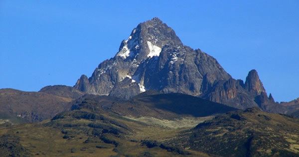
Kirinyaga county tourist attractions
Kirinyaga County is a county in the former Central Province of Kenya. Its capital is Kerugoya/Kutus and its largest town is Wanguru. In 2009, the county had a population of 528,054 and an area of 1,205.4 km².
Contents
- Kirinyaga county tourist attractions
- Map of Kirinyaga County Kenya
- President uhuru kenyatta and his deputy william ruto are in kirinyaga county
- History
- Administration
- Subdivisions
- Electoral constituencies
- Urbanisation
- WealthPoverty Level
- References
Map of Kirinyaga County, Kenya
President uhuru kenyatta and his deputy william ruto are in kirinyaga county
History
Kirinyaga District was created in 1963 out of the western part of Embu District.
In 2007, Kirinyaga District was divided into four new districts:
Administration
Since April 2013, the County Government of Kirinyaga administers all of Kirinyaga County. Formerly, The County Council of Kirinyaga administered all of Kirinyaga County, except the area that was administered by the Municipal Council of Kerugoya /Kutus and the Town council of Sagana-Kagio.
Subdivisions
Kirinyaga District is divided as follows:
Electoral constituencies
The county has four constituencies:
Urbanisation
Source: OpenDataKenya
Wealth/Poverty Level
Source: OpenDataKenya Worldbank