
Elevation 168 m Local time Tuesday 9:40 PM | Time zone IST (UTC+5:30) Population 18,921 (2001) | |
 | ||
Weather 19°C, Wind NE at 3 km/h, 49% Humidity | ||
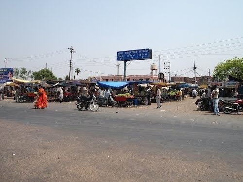
Driving through kiraoli
Kiraoli is a town and a nagar panchayat in Agra district in the Indian state of Uttar Pradesh.
Contents
Map of Kiraoli, Uttar Pradesh 283122
Geography
Kiraoli is located at 27.15°N 77.78°E / 27.15; 77.78. It has an average elevation of 168 metres (551 feet). Kiraoli is on NH11 i.e. Agra Jaipur Highway. It also has railway station on Agra-Kota-Mumbai railway track. Kiraoli is a small town in between two most important historic places of mugal period, those are Agra (23 km) and Fatehpur Sikri (13 km).
Villages
There are more than 15 villages in Kiraoli in Agra district. These are Abhendonpura(Mudiyapura), Manepura, Abhuapura,Nagla Shyoram, Mori baroli, Ardhaya, Prithvipura, nagla kurra, Beman, Basairy Chahar,Jaingara,Narol, Arrua Khas, Nayavas, Satha, korai, Behrawati, Byara, Undera, Kachora, Nahchani, Nagala Dalsahay, Nagala Jhabba, Nagala Hannu, Nagala Beech, Karahara, Singarpur, Vidyapur, Onera, Daultabad, SANDHAN KHERA,Raibha etc.
Demographics
As of 2001 India census, Kiraoli had a population of 18,921. Males constitute 53% of the population and females 47%. Kiraoli has an average literacy rate of 49%, lower than the national average of 59.5%: male literacy is 59%, and female literacy is 38%. In Kiraoli, 20% of the population is under 6 years of age.