
Highest point Sentinel Peak Mountains Sentinel Peak | Country Malawi | |
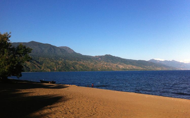 | ||
The Kipengere Range, also known as the Livingstone Mountains, lies in southwest Tanzania at the northern end of Lake Malawi. The northern end of the range is also known as the Poroto Mountains and near Lake Malawi they are known as the Kinga Mountains. It is a plateau-like ridge of mountains running southeastwards from the valley of the Great Ruaha River in the north to that of the Ruhuhu River in the south, and forms part of the eastern escarpment of the East African Rift. The underlying rock is composed of horizontally bedded quartzites, sandstones and conglomerates. The highest point is Mount Jamimbi which falls precipitately to the lake below. The uplands are mostly clad in grass, with forests in the depressions, and the lower slopes are covered with scrub.
Contents
Geography
From the town of Mbeya the range runs south-east and forms part of the eastern escarpment of the East African Rift, extending about 100 km down the north-eastern shore of the lake to the Ruhuhu River. At the north-western end of the range they are known as the Poroto Mountains. Where they tower above the lake they are also known as the Kinga Mountains.
In parts these highlands present rather the character of a plateau than of a true mountain range, but the latter name may be justified by the fact that they form a comparatively narrow belt of country, which falls considerably to the east as well as to the west. The northern end is well marked in 8 50 S by an escarpment falling to the Ruaha River valley, which is regarded as a north-eastern branch of the main rift valley. Southwards the Livingstone range terminates in the deep valley of the Ruhuhu in 10 30 S, the first decided break in the highlands that is reached from the north, on the east coast of Lake Malawi. Geologically the range is formed on the side of the lake by a zone of gneiss running in a series of ridges and valleys generally parallel to its axis.
Geology
The ridge nearest the lake (Mount Jamimbi or Chamembe, at 9 41 S), rises to an absolute height of 7,870 ft, or 6,200 ft above falls almost sheer to the water, the same steep slope being continued beneath the surface. Towards the south the range appears to have a width of some 20 m only, but northwards it widens out to about 40 m, though broken here by the depression, drained towards the Ruaha, of Buanyi, on the south side of which is the highest known summit of the range (9,600 ft). North and east of Buanyi, as in the eastern half of the range generally, table-topped mountains occur, composed above of horizontally bedded quartzites, sandstones and conglomerates. The uplands are generally clothed in rich grass, forest occurring principally in the hollows, while the slopes towards the lake are covered with poor scrub. The climate is here healthy, and night frosts occur in the cold season. Temperate crops can be raised with success. At the foot of the mountains on Lake Malawi are the ports of Manda, near the mouth of the Ruhuhu, and Matema, at the north-east corner of the lake.