
Time zone Pacific (PST) (UTC-8) | Local time Tuesday 6:57 AM | |
 | ||
Weather 13°C, Wind N at 2 km/h, 55% Humidity | ||
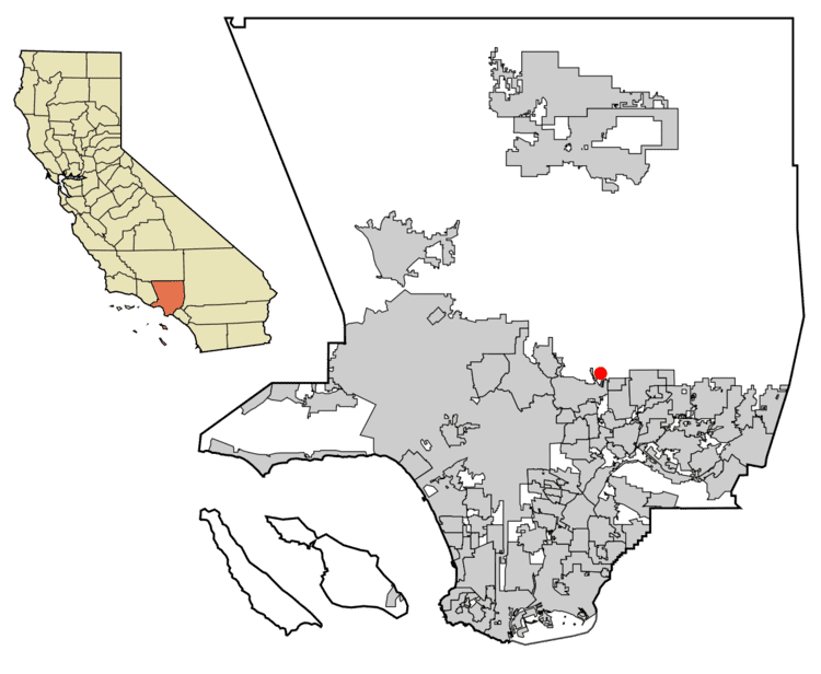
Kinneloa Mesa is an Unincorporated community located in Los Angeles County, California, with a population of approximately 1,000. Unlike Altadena, a larger unincorporated area nearby, Kinneloa Mesa is not an officially designated census-designated place. "Kinneloa Mesa" is in the Los Angeles County list of unincorporated areas and streetmaps including those of the Los Angeles County Assessor's office clearly recognize Kinneloa Mesa Road and Kinneloa Canyon Road as two principal roads through the area.
Contents
Map of Kinneloa Mesa, CA 91107, USA
Kinneloa Mesa adjoins Pasadena, and is close to Altadena (across the Eaton Canyon wash) and Sierra Madre (across an intervening fingertip section of Pasadena.
History
Kinneloa Mesa is an unincorporated community of the Fifth Supervisorial District of Los Angeles County, California. It is bordered by the Sierra Madre Mountains and the Angeles National Forest to the north, the Eaton Canyon wash (City of Pasadena) on the West, and the City of Pasadena on the South and on the East.
According to Altadena web-historians, Kinneloa Mesa may comprise part or all of the ranch of Abbot Kinney, and has also been known as the Kinneloa Estates.
A major fire in the area in 1993 affected Kinneloa Mesa. The fire was started by a homeless man in Eaton Canyon, and particularly devastated homes along Kinneloa Mesa.
News stories that reference Kinneloa Mesa occasionally misspell Kinneloa as "Kinneola" creating difficulty in researching current and historical events for this area.