
Population 3,509 (2011 census) Postal code 3012 Federal division Division of Gellibrand | Postcode(s) 3012 State electorate(s) Williamstown Area 70 ha Local time Wednesday 12:00 AM | |
 | ||
Weather 23°C, Wind NW at 6 km/h, 57% Humidity | ||
Kingsville is an inner-western suburb of Melbourne, Victoria, Australia, 9 km from Melbourne's Central Business District. Its local government area is the City of Maribyrnong. At the 2011 Census, Kingsville had a population of 3,509.
Contents
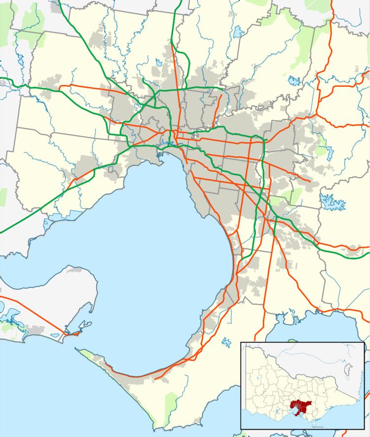
Map of Kingsville VIC 3012, Australia
Kingsville is a small suburb nestled primarily between West Footscray and Yarraville, and is often considered to be a part of one or the other. The suburb forms a right-angled triangle, bounded in the east by Williamstown Road, in the south by Somerville Road, with Geelong Road as the hypotenuse.
History
Kingsville was the original name for the entire West Yarraville region. This region was later renamed either Yarraville (south of Somerville Road) or West Footscray (north of Somerville Road), with South Kingsville retaining its original name. In the late 1990s the original name of Kingsville returned to the "wedge" of West Footscray with its present boundaries.
Kingsville Post Office opened on 1 January 1915.
Education
Kingsville Primary School and its attached kindergarten is located in Yarraville. The nearby Kingsville Kindergarten is in West Footscray, as is the Corpus Christi Catholic School.