
OS grid reference TR198513 Sovereign state United Kingdom Local time Tuesday 12:46 PM | Civil parish Kingston Area 5.12 km² Dialling code 01227 | |
 | ||
Population 471 (Civil Parish 2011) Weather 13°C, Wind W at 16 km/h, 75% Humidity | ||
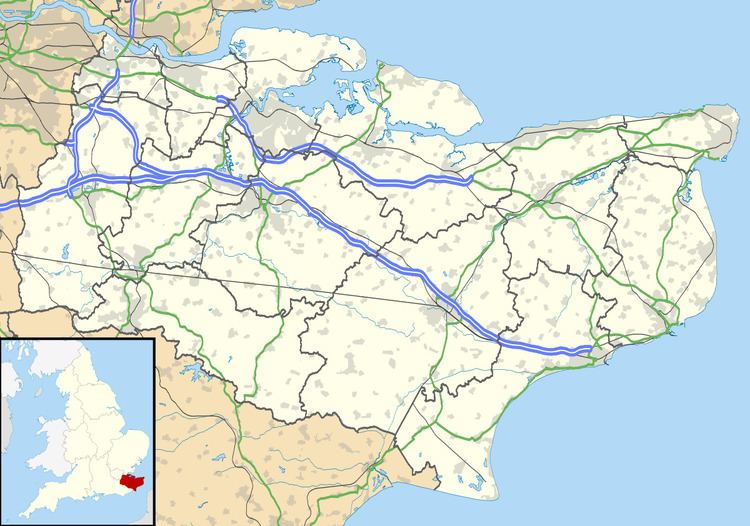
Kingston is a village and civil parish between Canterbury and Dover in Kent, South East England.
Contents
Map of Kingston, UK
Geography
The village is centred 5 miles south east of the city centre of Canterbury on the edge of the North Downs in rolling hilly countryside that is an Area of Outstanding Natural Beauty.
History
The ‘Kingston Brooch’, an important piece of Anglo-Saxon jewelry dating from the 7th Century, was discovered in a Tumulus on Kingston Downs in 1771 by Rev’d. Brian Faussett who was Rector of Kingston. It is 8 cm in diameter, made of gold, with garnet, blue glass and shell settings. Now on display in the World Museum, Liverpool.
Religious sites
The local church, dedicated to Saint Giles, originated during the 11th century, and is now part of the Barham Downs group of churches. The walls of the nave and about two-thirds of the present chancel are thought to be original, the chancel being extended in the 13th century. The font is also said to date from the 13th Century. The tower of a windmill stands some distance from the village.
Notable people
Sheila May Edmonds, mathematician, was born here in 1916