
OS grid reference SO500320 Post town HEREFORD Local time Tuesday 11:54 AM | Sovereign state United Kingdom Postcode district HR2 8 Dialling code 01981 | |
 | ||
Weather 14°C, Wind W at 21 km/h, 70% Humidity UK parliament constituency Hereford and South Herefordshire | ||
Kingsthorne, also known as King's Thorn, is a village in Herefordshire, England located between Hereford and Ross-on-Wye adjacent to the A49 and A466 roads.
Contents
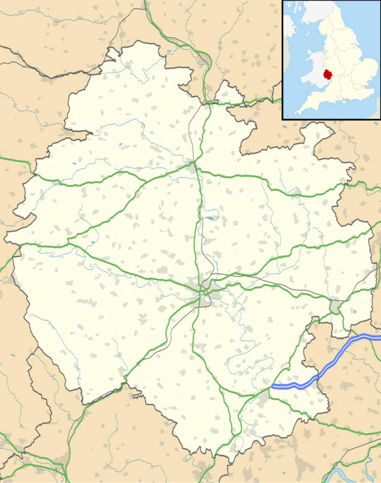
Map of Kingsthorne, Hereford, UK
Location
The village is located 6 miles (9.7 km) south from Hereford and 22 miles (35 km) north west from Gloucester.
Amenities
As the land use within the village is almost entirely residential, most services are located outside the village. The primary school catering for approximately 200 pupils is situated between Kingsthorne and Much Birch. The village is part of the Wormelow Hundred Benefice with the Church being located in Little Birch, and the nearest pub is in the adjacent village of Wormelow Tump.
References
Kingsthorne Wikipedia(Text) CC BY-SA