
OS grid reference NT033765 Post town LINLITHGOW Local time Tuesday 11:24 AM | Sovereign state United Kingdom Postcode district EH49 Dialling code 01506 | |
 | ||
Weather 12°C, Wind W at 48 km/h, 55% Humidity | ||
Kingscavil (NT029765) is a small settlement in West Lothian lying between Linlithgow and Bridgend on the old A9 (now the B9080).
Map of Kingscavil, Linlithgow, UK
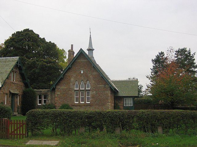
Essentially a single row of houses, Kingscavil once had a school serving the many local agricultural settlements, but this is now privately owned. The church remains in use.
In 1895 there were 112 houses with 709 residents registered. It hosted such ammenties as a pub, school and police station. The village also had its own bowling green and two local football teams.
Nearby Champfleurie, lying just to the east on the A9, is the site of the restored Champfleurie House, a Scottish Baronial style country house, which is now used for business purposes.
References
Kingscavil Wikipedia(Text) CC BY-SA