
 | ||
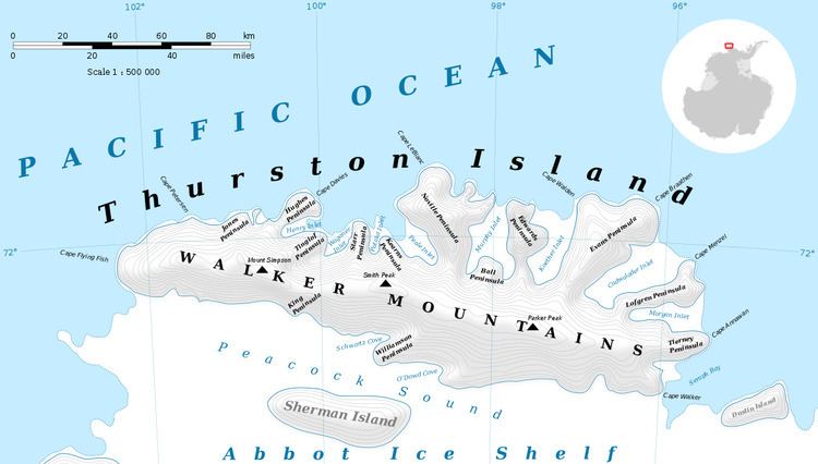
The King Cliffs (72°18′S 96°7′W) are ice-covered cliffs, with numerous rock exposures, forming the south side of the larger north arm of Morgan Inlet, on Thurston Island, Antarctica. The cliffs were first investigated by geologists with the U.S. Navy Bellingshausen Sea Expedition in February 1960. They were named by the Advisory Committee on Antarctic Names for geologist Charles E. King, a member of the Ellsworth Land Survey which worked at the cliffs in the 1968–69 season.
Maps
References
King Cliffs Wikipedia(Text) CC BY-SA