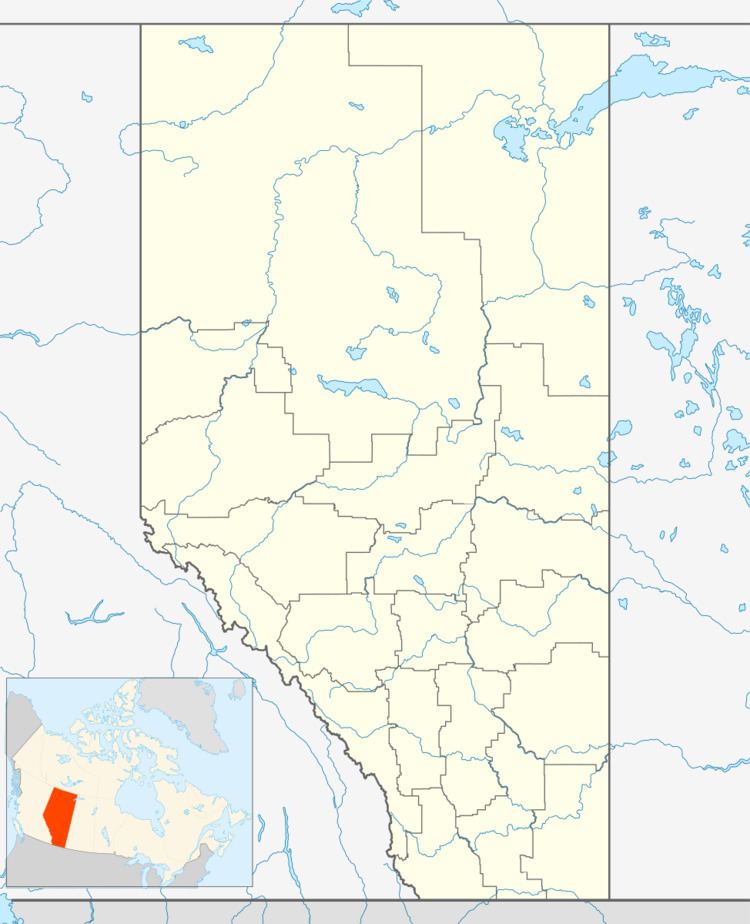
Country Canada Census division 3 Founded 1900 Local time Monday 6:36 PM | Time zone MST (UTC-7) Province Alberta | |
 | ||
Weather 6°C, Wind SW at 16 km/h, 58% Humidity | ||
Kimball is a hamlet in southern Alberta, Canada within Cardston County. It is located on Highway 501, approximately 16 kilometres (9.9 mi) southeast of Cardston between the St. Mary River and the Milk River Ridge. The community is named after the Mormon ward which was named after the descendents of Heber C Kimball.
Contents
Map of Kimball, AB, Canada
Regional attractions
Waterton Lakes National Park is a national park in the southwest corner of Alberta, 40 km (25 mi) west of Cardston, and borders Glacier National Park in Montana, USA. Waterton Lakes was Canada's fourth national park, formed in 1895. Amid the peaks are the lakes of Waterton Lakes National Park, carved out of the rock by glaciers.
On April 29, 1903, at 4:10 a.m., the mining town of Frank, Alberta, was devastated by 82 million tonnes of limestone crashing down from Turtle Mountain. The Frank Slide Interpretive Centre in the Crowsnest Pass, 130 km (81 mi) northwest of Cardston, tells of one of the greatest natural disasters in Canadian history.
Castle Mountain Resort 90 km (56 mi) west of Cardston has kilometres of groomed skiing runs, natural half pipes, deep fresh powder, short lift lines and wide open spaces.
Police Outpost Provincial Park is 32 kilometres (20 mi) south of Cardston, on the Canada/United States border, on the shores of Outpost Lake.
