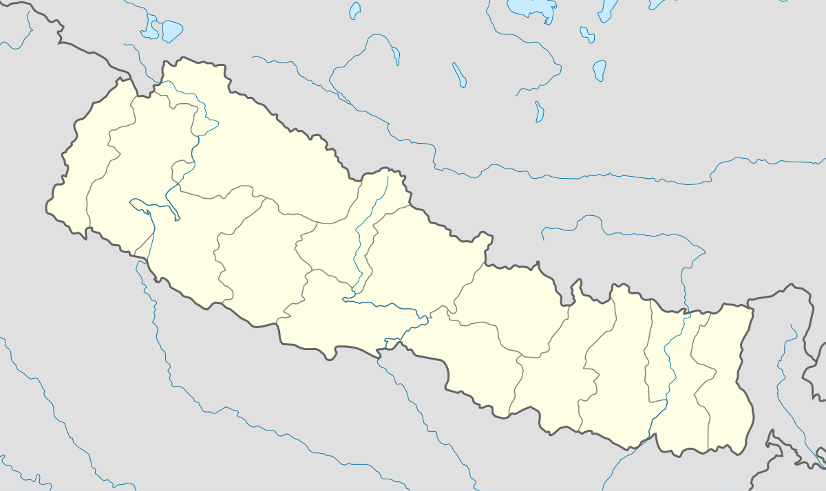
Country Nepal District Sankhuwasabha District Local time Saturday 9:42 PM | Zone Kosi Zone Time zone Nepal Time (UTC+5:45) Population 303 (1991) | |
 | ||
Weather 1°C, Wind SE at 11 km/h, 80% Humidity | ||
Kimathanka (also Keemathnka) is a village development committee in Sankhuwasabha District in the Kosi Zone of North Eastern Nepal. At the time of the 1991 Nepal census, it had a population of 303 people living in 50 individual households.
Contents
Map of Keemathnka 56900, Nepal
The village is remote for Nepalese, but a road is currently being constructed to the village and the border. The Arun River runs through the valley below the village.
Kimathanka was one of the areas of Nepal that had traditionally practiced polyandry, however that practice is fading.
Border
Kimathanka is near the border with Tibet. The border was part of brief dispute between China and Nepal before 1960. The dispute was resolved in their 1961 border agreement. The Chentang township in Tbiet is on the other side of the valley. There has been local cross-border trade for decades. It has gotten so important in recent years that in 2008 when Chinese tightened its border control during the Olympics, Kimathanka and the nearby villages faced food shortages due to disruption of the local trade. A Chinese border checkpoint was set up in 2011 checking border crossing permits of Nepalese.
