
Length 53 km | ||
 | ||
Kimanis–Keningau Highway is a state highway in Sabah, Malaysia, connecting the town of Kimanis to Keningau. It also acts as an alternative for Federal Route 500 from Kota Kinabalu to Tenom which is longer. The 53-kilometre (33 mi) highway began as a main logging road before being upgraded to a full two-lane highway. The highway was opened to traffic in 2006.
Map of Jln Keningau Kimanis, 89709 Bongawan, Sabah, Malaysia
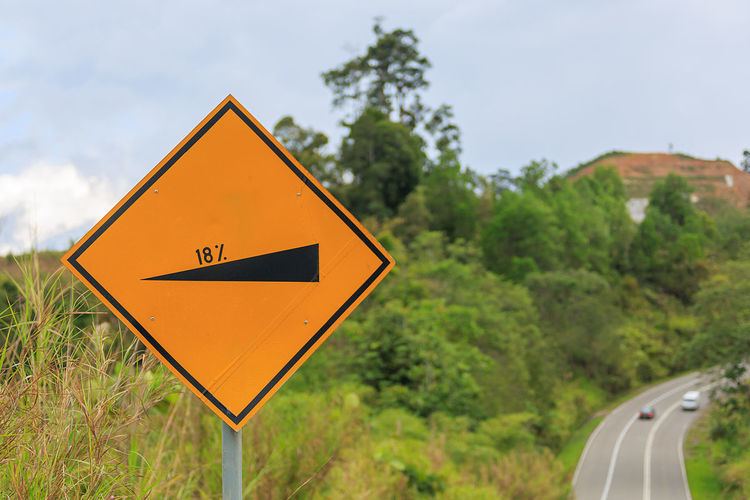
Even though the highway is relatively short and is in very good condition, it is notorious for its very steep gradients along the way, ranging from 10% to about 25%, making the Kimanis–Keningau Highway as the steepest highway in Malaysia. As a result, climbing road lanes are provided at steep sections.
A gravity hill induced by optical illusion is located 11 kilometres (6.8 mi) from Keningau. It is reported that at the gravity hill, there is a slope which appears as a downhill slope, but is actually an uphill slope.