
Time zone EAT (UTC+3) | Elevation 1,190 m | |
 | ||
Similar Nalubaale Hydroelectric Power St, Bujagali Hydroelectric Power St, Owen Falls, New Jinja Bridge, Jinja Hospital | ||
Chenwa tony 2012 hna kimaka prod nazim low quality
Location
Kimaka is bordered by to the west by the Nile River, (from Nalubaale Power Station to Bujagali Power Station), to the south by the Kampala-Jinja Highway (from Nalubaale Power Station to the first roundabout as one enters Jinja from Kampala), to the east by Qaddafi Barracks and to the north by the area north of the Jinja Airport. This location is about 3.6 kilometres (2.2 mi), by road, from the central business district of Jinja. The coordinates of Kimaka are:0°27'01.0"N, 33°11'30.0"E (Latitude:0.450278; Longitude:33.191667).
Overview
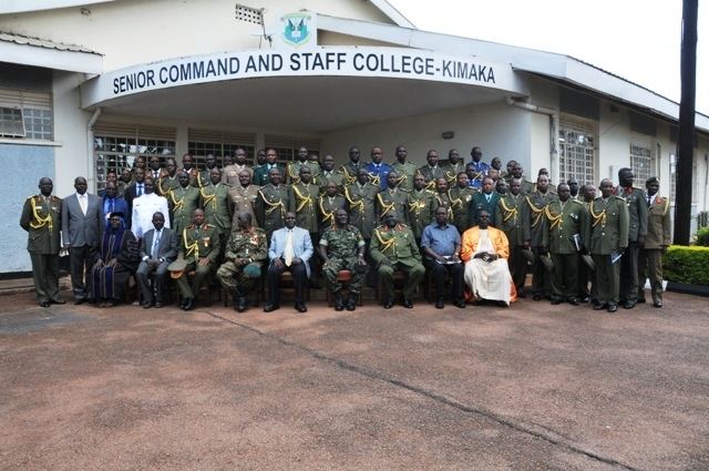
Kimaka is divided into the Eastern Zone, east of the Jinja-Budondo Road, and the Western Zone, to the west of that road. The Eastern Zone is dominated by Jinja Airport and the Uganda Senior Command and Staff College. The Western Zone is primarily composed of middle class residential neighborhoods and, closer to the River Nile, by the three hydroelectric dams from south to north: Nalubaale, Kiira, and Bujagali. Kimaka Power Station, a 50MW thermal power plant that uses heavy fuel oil, is located adjacent to Kiira Power Station.
Landmarks
The landmarks in Kimaka or near its borders include: