
Time zone WET (UTC+0) Elevation 76 m Local time Monday 10:33 PM | Irish Grid Reference G976455 Population 233 (2011) | |
 | ||
Weather 12°C, Wind SW at 18 km/h, 87% Humidity | ||
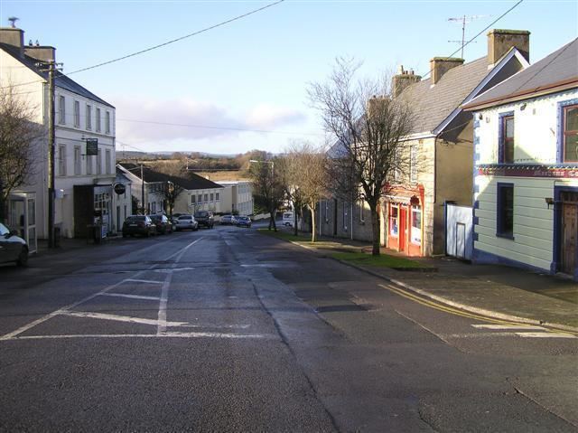
Kiltyclogher (Irish: Coillte Clochair, meaning "stony woods") is a small village in County Leitrim, Ireland. It is on the border with Fermanagh, in close proximity to the hamlet of Cashelnadrea.
Contents
- Map of Kiltyclogher Co Leitrim Ireland
- Population
- Prince Connells Grave
- Sen Mac Diarmadas house
- Black Pigs Dyck
- Transport
- References
Map of Kiltyclogher, Co. Leitrim, Ireland
Population
Kiltyclogher's population at the 2011 census was 233 residents, a decline of 21 from the 2006 figure of 254.
Prince Connell's Grave
Corracloona Court Tomb, also called "Prince Connell's Grave", is located outside Kiltyclogher, on the Glenfarne road. It is a passage grave and dates from the 2nd millennium B.C.
Seán Mac Diarmada's house
The family home of Seán Mac Diarmada, one of the seven signatories of the 1916 Proclamation of Irish independence, who was executed by the British in May 1916, is a three-roomed thatched cottage with some thatched outbuildings, partially surrounded by rhododendrons, and overlooking Upper Lough Macnean.
Black Pig's Dyck
Remnants of the Black Pig's Dyke (Irish: Gleann na muice duibhe, meaning "glen of the black pig"), exist to the west of the village. These prehistoric earthworks, between the old rival Irish provinces of Ulster and Connacht, may have been constructed as defences against invasion and/or cattle-raiding.
Transport
Bus Éireann route 470 serves the village on Fridays and Saturdays providing links to Manorhamilton, Sligo, Rossinver and Glenfarne.