
Elevation 627 m | Traversed by A689 road | |
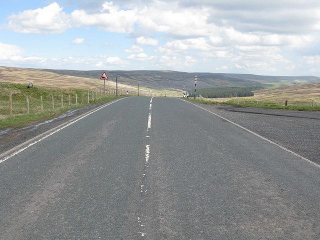 | ||
Killhope Cross (el. 627 m.) is a mountain pass in the English Pennines. The pass divides Weardale to the east and Cumbria to the west. The road over the pass, the (A689) from Hartlepool to Carlisle, Cumbria, connects the towns of Cornriggs and Alston, Cumbria. It is the equal highest paved pass in England with the Harthope Moss approximately 10 miles to the south, on the other side of Burnhope Seat (747 m).
Map of Killhope Cross, Alston, UK
References
Killhope Cross Wikipedia(Text) CC BY-SA