
Time zone WET (UTC+0) Local time Monday 7:31 PM | Elevation 31 m (102 ft) Irish Grid Reference R496730 | |
 | ||
Weather 12°C, Wind SW at 18 km/h, 84% Humidity | ||
Kilkishen (Irish: Cill Chisín) is a village in southeast County Clare, Ireland. The village is 8 kilometres east of Quin and 14 kilometres north of Shannon.
Contents
Map of Kilkishen, Co. Clare, Ireland
Demographics
The population of Kilkishen at the 2006 Census was 443, a rise from 324 at the 2002 Census. According to a report by Samuel Lewis in 1837, the village had a population of 519.
Facilities
Kilkishen National School is in the village and, according to their website, has an enrollment of 108 students.
Kilkishen is in the civil parish of Clonlea and in the Catholic parish of O'Callaghans Mills.
The first church at Kilkishen was probably built very early in the 19th century. It is mentioned in an 1811 report of a dispute that led to violence over who should sit nearest to the altar. Major renovation or reconstruction of the church of St Senan's was completed in 1865.
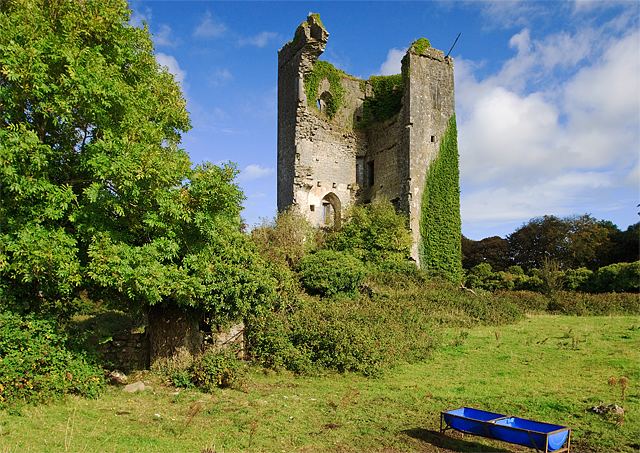
The village contains the ruins of Kilkishen Church (Church of Ireland), which was built in 1811 and repaired in 1834, but later abandoned. The outer structure is all that remains today.
Sport
Kilkishen GAA was a hurling team that is now defunct. The team won the Clare Senior Hurling Championship in 1923 and 1932 and were finalists in 1938. The village has a junior level camogie club.