
Quadrant NW Sector Mature area Elevation 677 m | Ward 7 Area 119 ha Population 2,763 (2012) | |
 | ||
Restaurants Tony Roma's Londond, New York Fries, Donair Express & Seafood, Albert's, Dairy Queen / Orange J | ||
Kildare is a mixed residential/commercial neighbourhood in north east Edmonton, Alberta, Canada. It is named after Kildare in Ireland.
Contents
- Map of Kildare Edmonton AB Canada
- Demographics
- Residential development
- Population mobility
- Schools
- Shopping and services
- References
Map of Kildare, Edmonton, AB, Canada
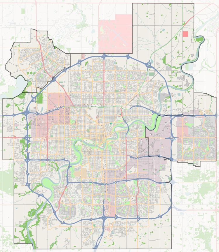
The neighbourhood is bounded on the south by 137 Avenue, on the west by 82 Street, on the north by 144 Avenue and on the east by 66 Street.
St. Michaels Cemetery is located in the south west corner of the neighbourhood.
Demographics
In the City of Edmonton's 2012 municipal census, Kildare had a population of 7003276300000000000♠2,763 living in 7003120900000000000♠1,209 dwellings, a -4.3% change from its 2009 population of 7003288600000000000♠2,886. With a land area of 1.19 km2 (0.46 sq mi), it had a population density of 7003232180000000000♠2,321.8 people/km2 in 2012.
Residential development
According to the 2001 federal census, most of the residential development in Kindare occurred during the 1960s and 1970s. Just under half (48.9%) of all residences were constructed during the 1960s and three out of every ten (29.3%) were built during the 1970s. One in five residences (17.5%) were built during the 1980s. Residential development of the neighbourhood was substantially complete by 1990.
The most common type of residence, according to the 2005 municipal census, is the single-family dwelling. These account for just under half (47%) of all the residences in Kildare. Another one in four (24%) are row houses with a large row house development located at the north west corner of the neighbourhood. The remaining three out of ten houses are a mixture of rented apartments in low-rise buildings with fewer than five stories (9%), rented apartments in buildings with five or more stories (10%) and duplexes (9%). There are also two collective residences in the neighbourhood. Two out of every three (68%) residences are owner-occupied while one in three (32%) are rented.
Population mobility
According to the 2005 municipal census, the neighbourhood population is comparatively mobile. One out of every six residents (15.6%) had moved within the previous twelve months. Another one in five residents (20.6%) had moved within the previous one to three years. Just over half (52.8%) had lived at the same address for five years or longer.
Schools
There is a single school in the neighbourhood, Kildare Elementary School, operated by the Edmonton Public School System.
Other schools operated by the Edmonton Public System in surrounding neighbourhoods include:
Shopping and services
Londonderry Mall is located at the south east corner of the neighbourhood at the intersection between 137 Avenue and 66 Street. To the west of the neighbourhood along 137 Avenue are Northgate Centre and North Town Mall.