
Coat of arms Flag Rural localities 39 | Selsoviets 9 Area 1,688 km² | |
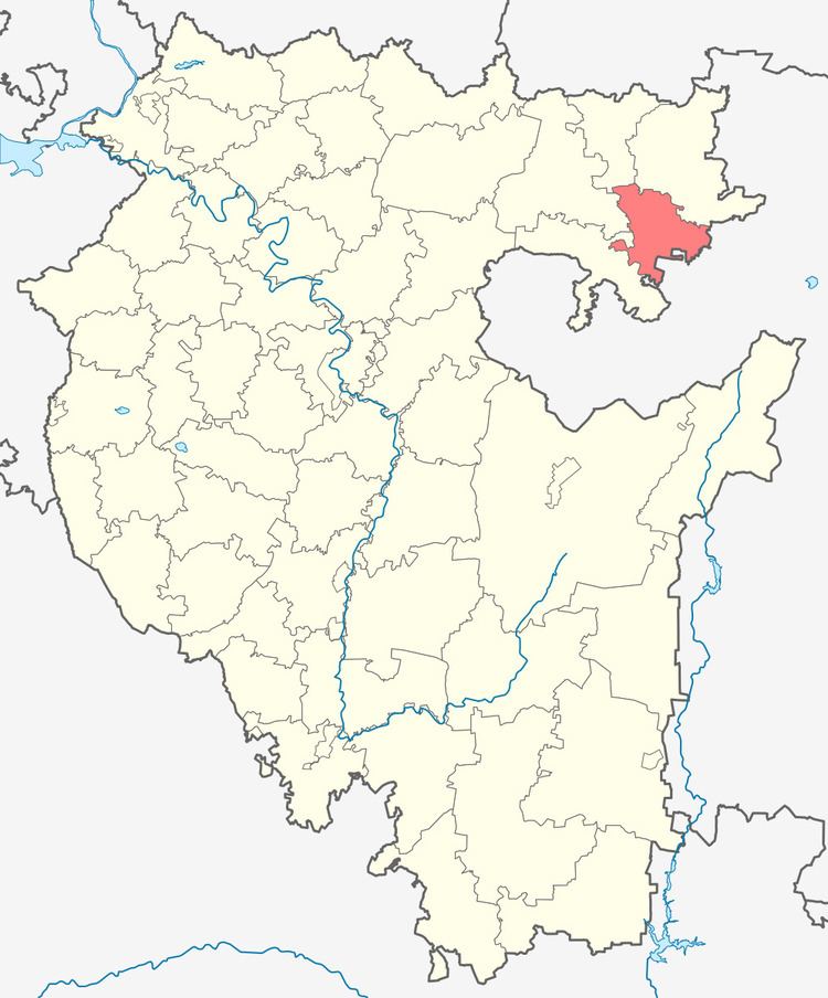 | ||
Federal subject Republic of Bashkortostan | ||
Kiginsky District (Russian: Киги́нский райо́н; Bashkir: Ҡыйғы районы) is an administrative and municipal district (raion), one of the fifty-four in the Republic of Bashkortostan, Russia. It is located in the northeast of the republic and borders with Mechetlinsky and Belokataysky Districts in the north, Chelyabinsk Oblast in the east and southeast, Salavatsky District in the south and southwest, and with Duvansky District in the west. The area of the district is 1,688 square kilometers (652 sq mi). Its administrative center is the rural locality (a selo) of Verkhniye Kigi. As of the 2010 Census, the total population of the district was 19,137, with the population of Verkhniye Kigi accounting for 34.7% of that number.
Contents
- Map of Kiginsky District Republic of Bashkortostan Russia
- History
- Administrative and municipal status
- References
Map of Kiginsky District, Republic of Bashkortostan, Russia
History
The district was established on August 20, 1930.
Administrative and municipal status
Within the framework of administrative divisions, Kiginsky District is one of the fifty-four in the Republic of Bashkortostan. The district is divided into nine selsoviets, comprising thirty-nine rural localities. As a municipal division, the district is incorporated as Kiginsky Municipal District. Its nine selsoviets are incorporated as nine rural settlements within the municipal district. The selo of Verkhniye Kigi serves as the administrative center of both the administrative and municipal district.