
 | ||
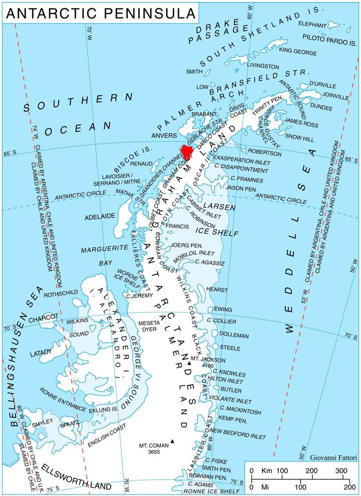
Kiev Peninsula (Bulgarian: полуостров Киев, ‘Poluostrov Kiev’ po-lu-'os-trov 'ki-ev; Ukrainian: півострів Київ, ‘Pivostriv Kyiv’ piv-'os-triv 'ki-yiv) is the predominantly ice-covered, oval shaped peninsula projecting 35 km in northwest direction from the west side of Graham Land, Antarctic Peninsula. It is bounded by Flandres Bay to the northeast and Beascochea Bay to the southwest, and separated from Wilhelm Archipelago to the northwest by Lemaire Channel and Penola Strait. The peninsula’s north extremity Cape Renard divides Graham Coast to the southwest from Danco Coast to the northeast.
Contents
The peninsula is named after the capital city of Ukraine, in connection with the Ukrainian Antarctic base Vernadsky situated on nearby Galindez Island.
Location
Kiev Peninsula is centred at 65°15′00″S 63°41′00″W. British mapping in 1976.