
District South 24 Parganas Time zone IST (UTC+5:30) Local time Monday 7:30 PM | Elevation 9 m | |
 | ||
Weather 23°C, Wind NE at 0 km/h, 55% Humidity | ||
Khidirpur or Kidderpore is a neighborhood of metropolitan Kolkata (Calcutta). Located in the central-west part of the city, it is bounded by the Alipore in the east, Mominpur in the south, Hastings, in the north, Garden Reach and Metiabruz in the south-west and the Hooghly River in the west.
Contents
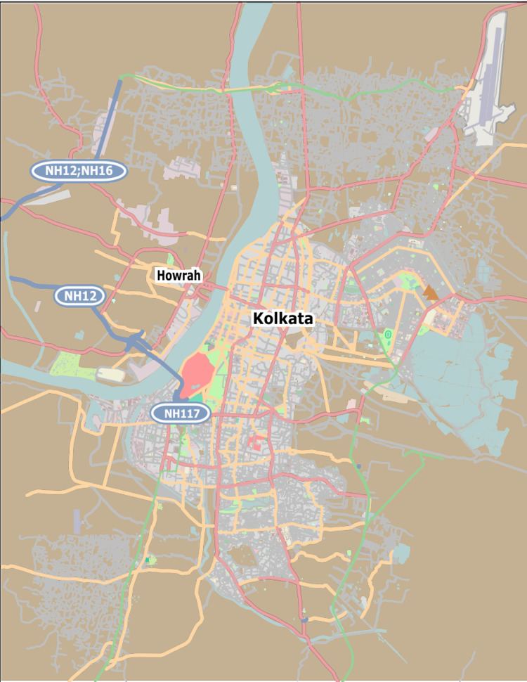
- Map of Khidirpur Kolkata West Bengal
- History
- Etymology
- Geography
- Transport
- Medical facilities
- Educational institutions
- Places of interest
- References
Map of Khidirpur, Kolkata, West Bengal
History
The gateway of Kidderpore is at the crossing of Diamond Harbour Road and Gangadhar Banerjee Lane. At that place a roadside restaurant dating from the British era remains, named "Panchubabu's Shop" or "Panchubabur Dokan", one of the landmarks of Kidderpore. The area is also home to quite a few dargahs of Sufi saints like Syed Baba and Shah Warsi Baba, to name a few.
A number of soldiers killed during the 2nd World War were buried at the Solana Muslim burial ground.
Even in the field of Indian literature, this part of Kolkata produced three jewel poets. They were Rongolal Bandhopadhyay, Hemchandra Bandopadhyay and Michael Madhushudan Dutta.
Etymology
One of the oldest parts of the city, Kidderpore has many legends associated with respect to the stoical origin of it's name. It is said that some British could not converse in Bengali. Whenever they passed by, their asking in broken Hindi for the directions to the port where their ships used to dock sounded somewhat like 'kidder-port'. More plausibly, the name is a corruption of Khidrpur or Khizarpur, Khizr/Khidr being the guardian saint of the seas to the fishing communities of Bengal. Another theory points out that the port probably got its name from Lord Kyde, a 19th-century engineer who designed and supervised the building of the lock gate that connects the nearby port to the Hoogly River.
Geography
Kidderpore is located at 22.53°N 88.32°E / 22.53; 88.32. It has an average elevation of 9 m (30 ft).
Transport
Kidderpore Bridge is one of the few bridges in Kolkata that has trams plying across it. The Kidderpore Tram Depot connects famous locations like Kalighat, Tollygunge and Ballygunge, etc. The main Kidderpore intersection is connected with North, South and Central Kolkata by various private and state bus services. Shared autos which ply from nearby distances and is a cheap and affordable option. Kidderpore can also be accessed by the Kolkata Circular Railway which has a station in the locality.
Medical facilities
The area is well served by several major hospitals-
Educational institutions
- St Thomas School, Kolkata Diamond Harbour Road is the oldest one in West Bengal,
- Jawahar Lal Nehru Vidyapith
- Moulana Azad Urdu School, Driver's Quarter
- The Kidderpore Academy
- Sharat Chandra Paul Girls High School
- Jnan Chandra Ghosh College of Polytechnique
- Adarsh Hindi High School
- Khidirpur College
- St. Paul's School Kidderpore, Diamond Harbour Road
- St. Teresa Secondary School, Diamond Harbour Road
- Lajpat Hindi High School
- Loyola High School
- Kendriya Vidyalaya, Command Hospital
- Sarat Chandra Paul Girls High School
- Sir Syed High School (Urdu)
- Kidderpore Urdu Girls Primary School
- Kidderpore Oriya High School
- Kidderpore Balika Vidyatan
- Bankim Ghosh Smriti Uchha Balika Vidyalaya
- Jnan Bhaskar Vidyalaya
- Thomas Day High School
- Jnan Bhaskar Vidyalay
- St Barnabas High School
- Grace International School - Mominpore
- Evergreen high school .Ibrahim road.
- Labbaik coaching center.M.M Ali road
- Kidder Pore Muslim High Secondary School.
- Child Care Primary School.Ram Kamal Street